October 16: Distance: 24.3 Km / 15.1 miles
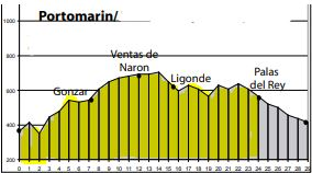
Stage Twelve Villages
Portomarin, Toxibo, Gonzar 7.5, Castromayor 1.3, Hospital de la Cruz 2.4, Ventas de Narón 1.6, Alto de Ligonde 3.0, A Prebisa, Lameiros, Ligonde, Eirexe 1.1, Portos 2.0, Lestedo .5, Os Valos, Mamurria, Mesón a Brea 2.1, Rosario, Os Chacotes, Palas de Rei 2.8
Watch for:
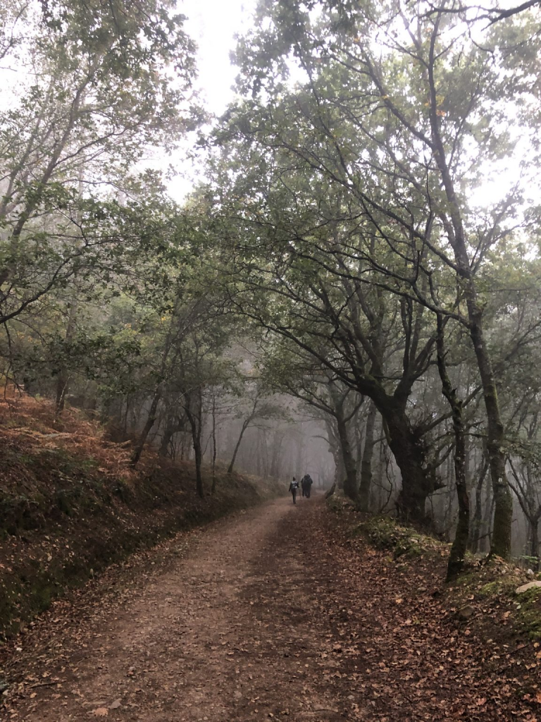
Leaving Portomarín – Warning! May not be a café until Gonzar, nearly 8km.
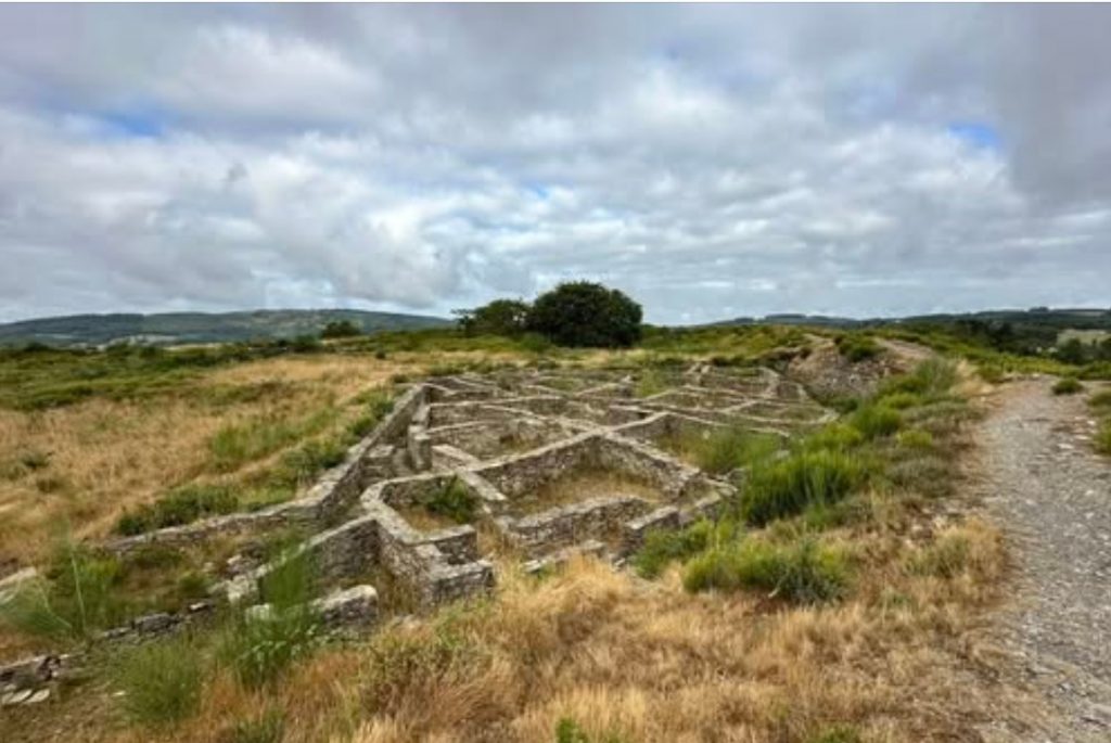
Leaving Castromaior – Detour! Beebe (p. 374) recommends the detour to see an excavation of an Iron Age fortress, but I don’t think I want to take it. Reassess.
Leaving Ventas – 2.5km/1.6mi past Ventas is the Cruceiro de Lameiros, an elaborate cross.
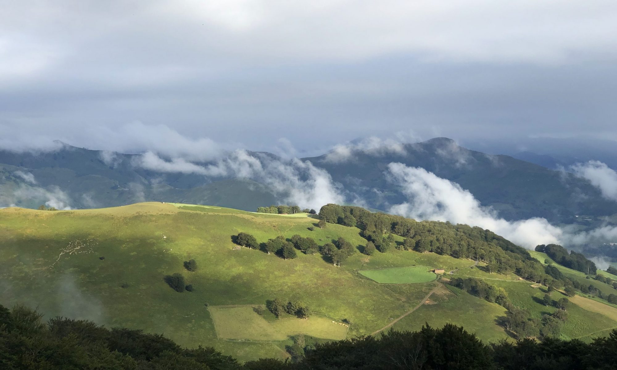
Palas de Rei – Entering eucalyptus territory. A farm town with tiny hamlets around it.
Castro Culture – Castro Galeira.
Where to Veer Off the Trail
After departing Castromaior, continue walking toward Palas de Rei.
Right when you arrive in town, head toward the Maceda parish area of Palas de Rei, where the hamlet Maceda (San Vicente de Ulloa) is located.
Castro Galeira sits approximately 1.4 km (≈ 21-minute walk) from the Maceda bus stop, which is roughly 1.5 km north of Palas de Rei’s center.
Detour Instructions
- Complete the Camino walk from Castromaior to Palas de Rei.
- Continue through Palas de Rei and head north toward the A Ulloa / Maceda area.
- Follow road signs for Igrexa de San Vicente de Ulloa, and you’ll reach the hamlet of Maceda.
- From Maceda, walk approximately 1.4 km north/northwest to reach Castro Galeira
In practice: once you reach Palas de Rei, walk up the A Ulloa road toward Maceda and continue to the archaeological site.
This detour would add 2–3 km walking round-trip. If you arrive in Palas de Rei early enough, it’s quite doable before checking into your lodging. Alternatively, you could take local bus XG63702 from Palas center to Maceda and walk the remainder.
- Tucked just off the trail to Palas de Rei is 2500 Celtic (Castrexa) settlement – Castro Galeira. Castro culture refers to fortified hilltop settlements comon across northwestern Iberia (modern Galicia, Asturias, and northern Portugal) from the late Bronze Age (prox 9th century BC) until the Roman conquest in the 1st century BC. Associated with the Celtic-speaking tribes known as the Gallaeci or Astures. Castros were typically walled oppida, featuring stone circular dwellings, narrow pathways, defensive embankments, and often place on hilltops.
- Castro Galeira began as a pre-Roman hillfort built by the Castro-age tribes. In the early medieval period, around the 10th-11th centuries, it location became the foundation for a Romanesque chapel. Later, in 1375, Don Gonzalo Ozores de Ulloa constructed the Castle of Pambre atop it. It represents continuous human use over centuries – from Iron Age fortifications through medieval military architecture.
Dining:
Mesón a Forxa (Traversia da Igrexa, 2). Market fresh ingredients, contemporary cooking, and traditional Galician dishes.
Restaurante Castro (Avenida de Ourense, 24). Good values and farm fresh.
Lodging Info: Pension Santirso €56.70 $ 61.40
Calle Santirso (Camino del Lavadero) s/n, 27200 +34 676 61 80 90
Public Transportation Along this Stage:
Portomarin: Bus / Palas de Rei: Bus