Hot Springs Canyon Trail
Distance: 6.0 RT / Moderate
Begin at Daniel’s Ranch or Hot Springs
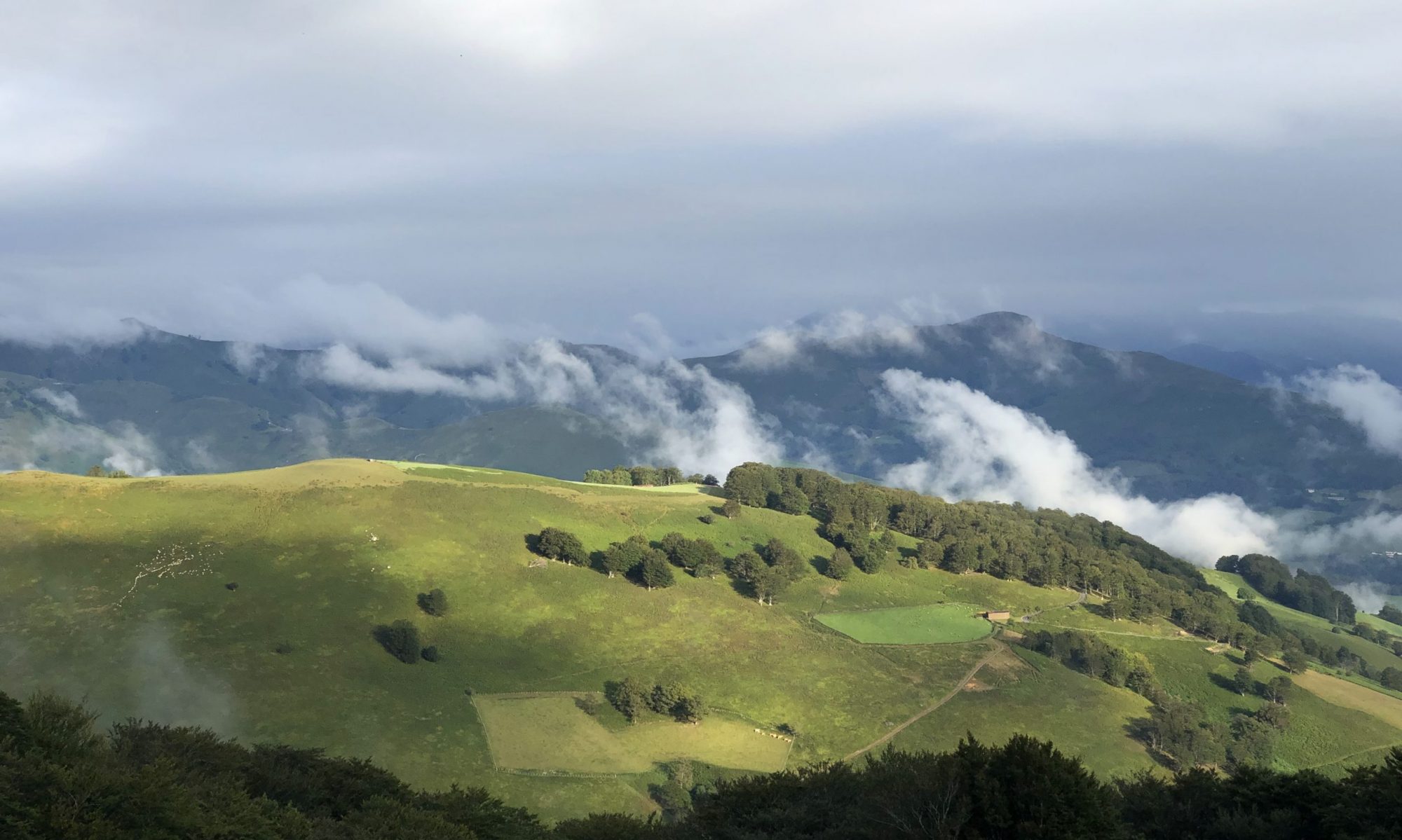
This 3 mile trail (either direction) connects Daniel’s Ranch and the Hot Springs. In places, it runs close to the river; in other areas along the rim of Hot Springs Canyon. This trail offers beautiful views of the Rio Grande, Chisos Mountains, and Del Carmen Mountains. No shade makes this trail a challenge in summer heat.
Santa Elena Canyon Trail
Distance: 1.7 RT / Moderate
Begins at terminus of the Ross Maxwell Scenic Drive
This trail leads into the mouth of stunning Santa Elena Canyon. After crossing Terlingua Creek, the trail ascends on paved steps to a vista, then descends back to the water’s edge, continuing into the canyon until the canyon walls meet the water. A Big Bend classic. Be prepared for mud. Trail is impassable when Terlingua Creek floods.
Hot Springs Historic Trail
Distance: 1.0 RT / Easy (photo op)
Begin at Hot Springs parking lot
This trail passes remains of a resort, pictographs, homestead, and hot springs; a brochure at the trailhead offers more information. The 105°F springs are a popular destination (0.5 mile roundtrip), but one can continue to where the trail forks, leading to the top of the bluff and back to the parking lot.
Rio Grande Village Nature Trail
Distance: 0.75 loop / Easy (photo op)
Begin at Rio Grande Village Campground, Site #18
Although short and easy, the trail is very scenic and has fantastic opportunities for wildlife viewing, especially birds. The first 100 yards is wheelchair accessible and crosses a boardwalk through a spring-fed wetland. Then the trail gradually climbs a limestone hill with panoramic vistas of the Rio Grande, and the Chisos and Del Carmen Mountains. This trail is great for sunsets.