Distance: 16 km / 10 miles
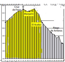
Stage Twenty-seven Villages
Rabanal del Camino, Foncebadón, (Cruz de Ferro), Manjarín, El Acebo
Watch for:
Warning! Leaving Rabanal – Be sure to fill your water & take provisions to fuel the climb.
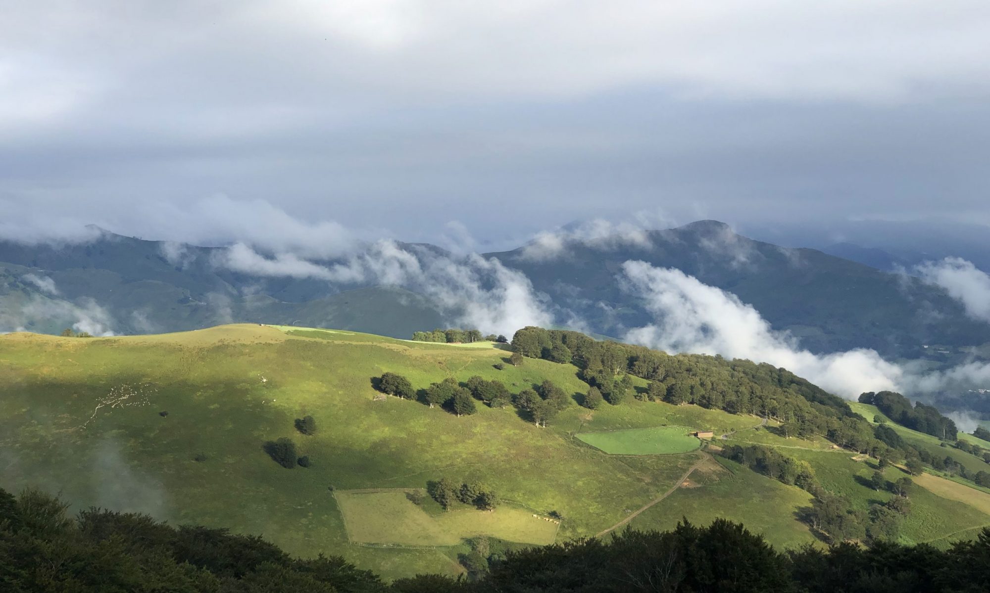
Foncebadón – View: Upon arrival, turn around to see the mountains you just climbed. Continue to climb toward Monte Irago and Cruz de Ferro, the Camino’s highest point.
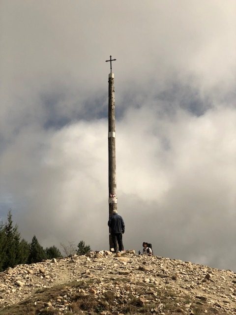
Cruz de Ferro – 6.9km past Rabanal
Manjarín – Modern day Templar knight: A vacant hamlet except for the efforts of Tomás Martinez de Paz, who since 1993 has restored parts in service to pilgrims and the Camino. He picked this location to assist on a remote stretch with little support (Beebe).
Leaving Manjarín – At the highest point of Monte Irago’s pass, midway between Manjarín and El Acebo, you’ll stand on the right (south) edge of Alto Altar Mayor (1,515 meters/4,970 ft) for a full view of El Acebo and Ponferrada. Steep descent to El Acebo.
El Acebo – Olive tree: An ancient olive tree is planted near the church wall in the church square. First olive tree for this part of the Camino.