The Camino de Santiago has existed for over 1000 years and dates back to the 8th Century when the remains of St James the Apostle were first discovered in Northern Spain. It is believed that St James preached the Gospel in present day Galicia and on return to Jerusalem he was beheaded by King Herod in 44AD. (Wiki)
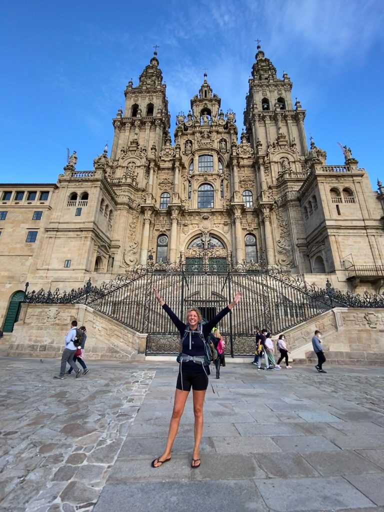
The cathedral is the reputed burial place of Saint James the Great, the apostle of Jesus Christ. It is also one of the only three remaining churches in the world built over the tomb of an apostle of Jesus, the other two being St. Peter’s Basilica in Vatican City and St. Thomas Cathedral Basilica, Chennai in India. Wiki.
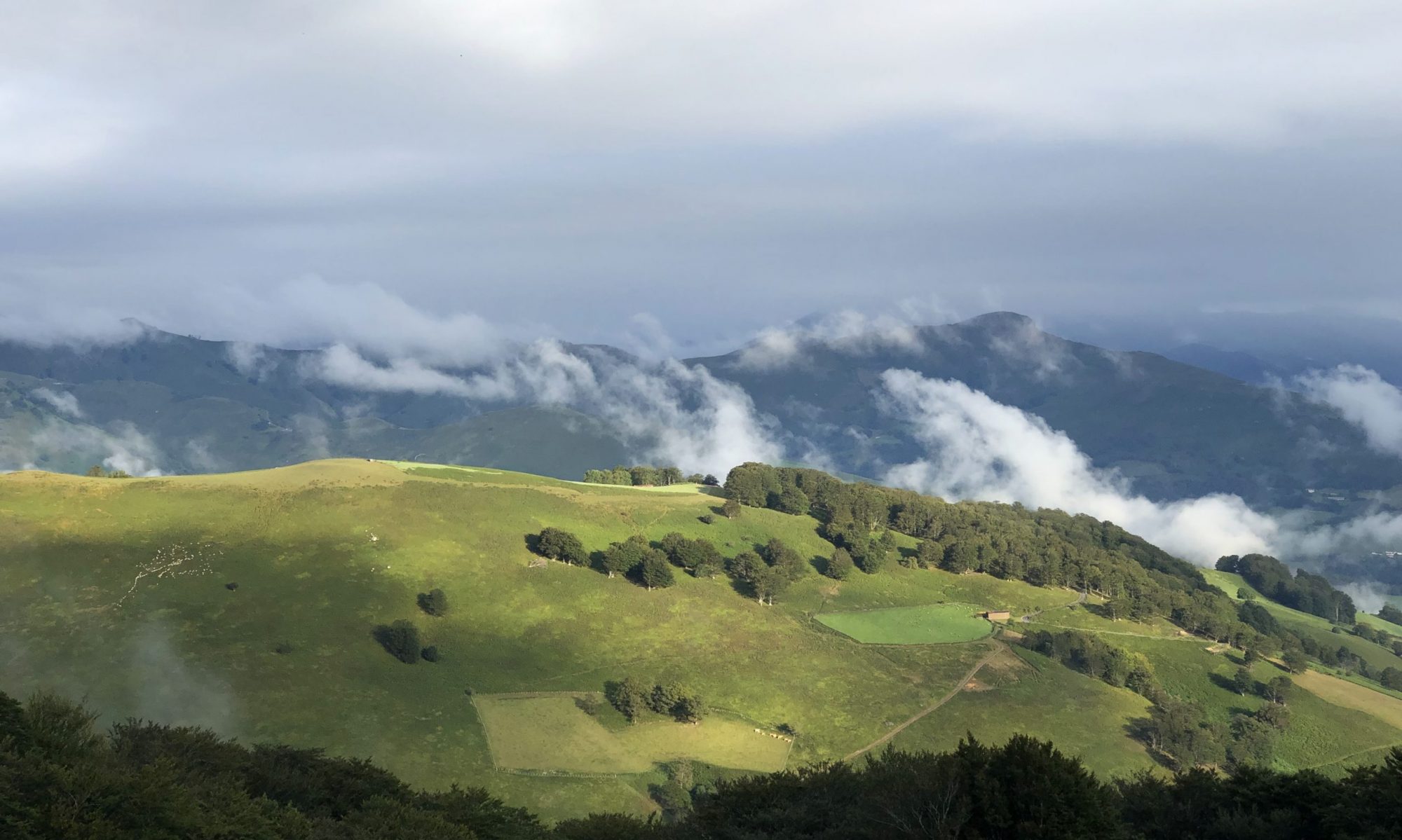
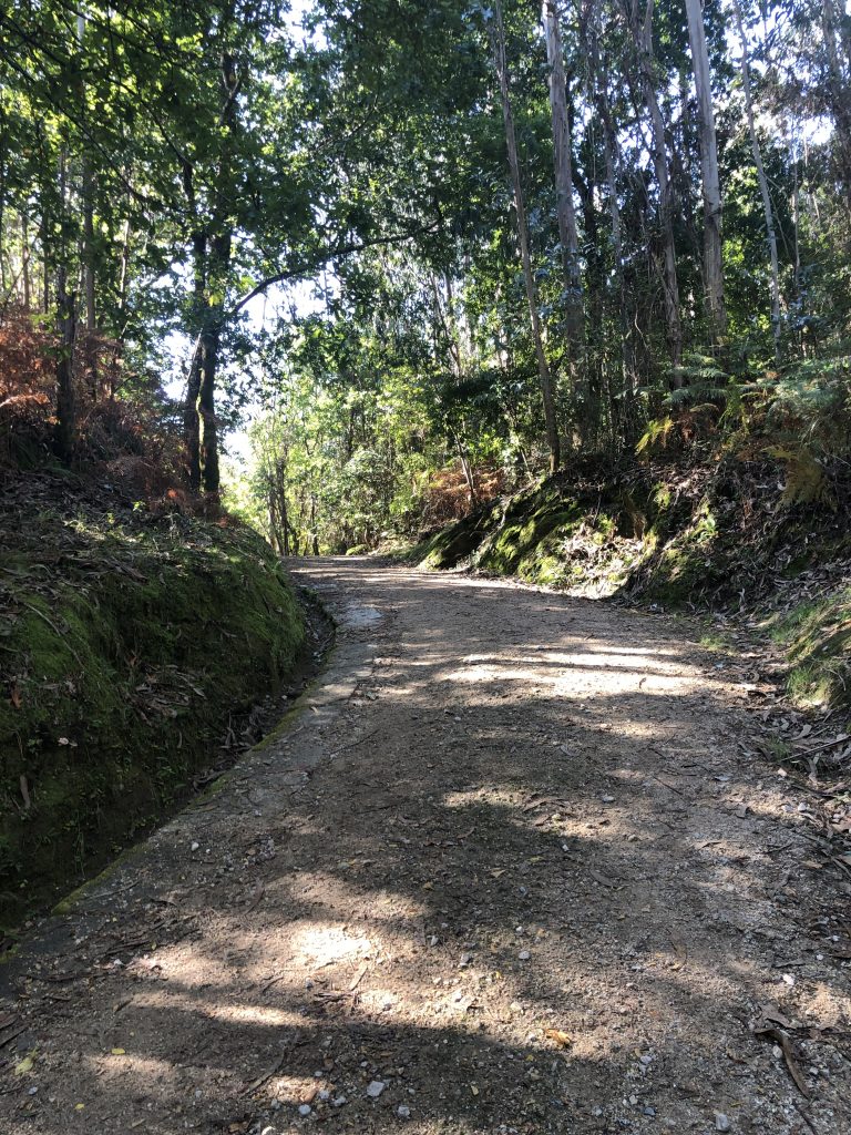
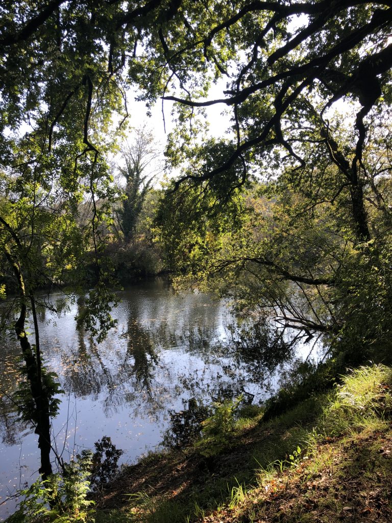
What a different route this was from the Camino Frances. There were some pretty paths, but most of this 15 mile walk was on a road of some sort. We walked through the outskirts of villages through rich neighborhoods of chalets, big houses with big gates and there was only one bar/cafe open on the entire walk. Oh. And that hill that climbed for over two miles.
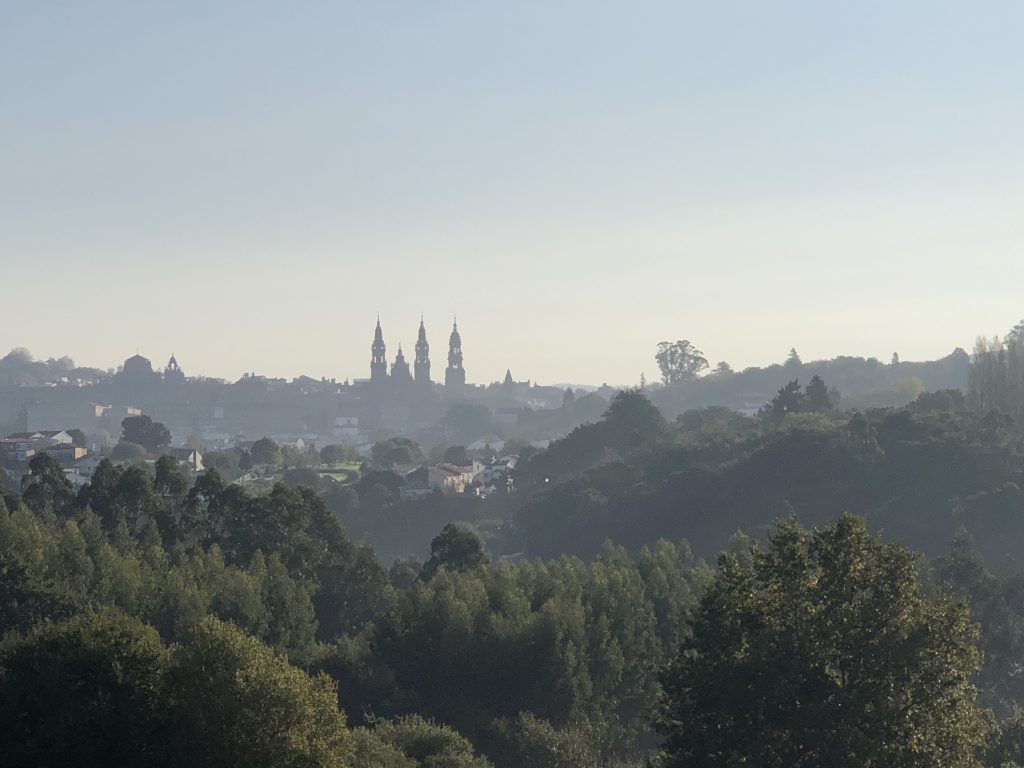
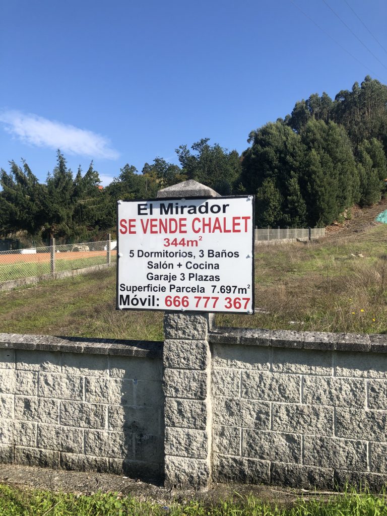
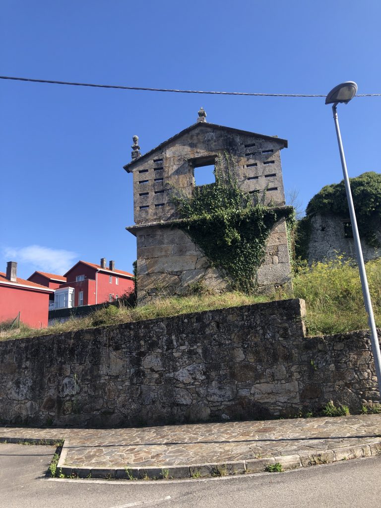
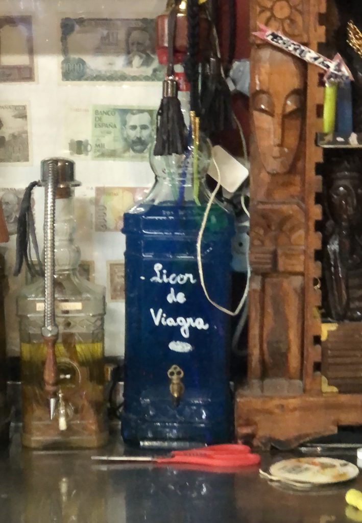
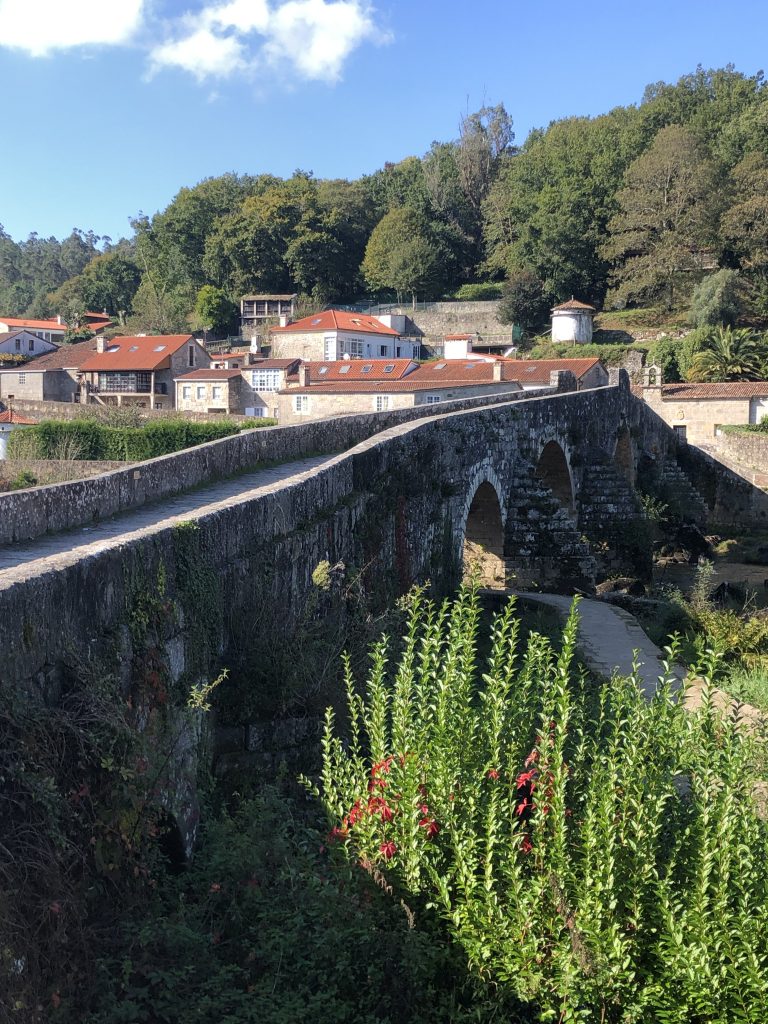
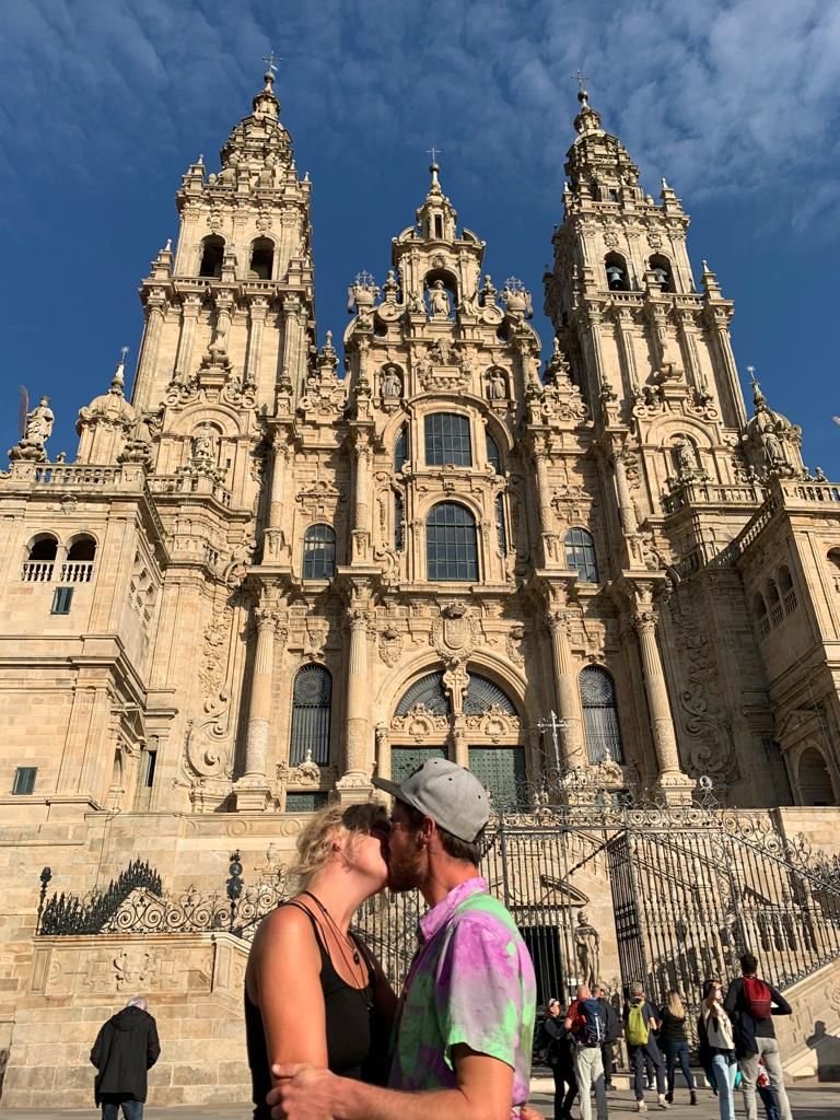
The spires of the Santiago cathedral in the distance.Five bedroom chalet for sale. Remnants of an old village show up occasionally, but along the route, we mostly see houses, condos, and modern businesses. What do you suppose is in that bottle?!Up. Always up. Pinterest MaceiraRio Tambre, Ponte MaceiraStage One of Four
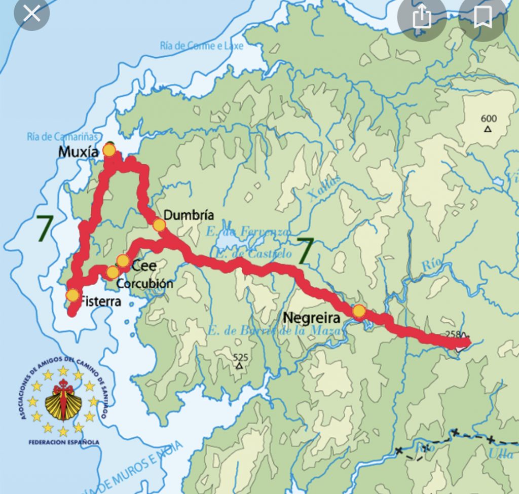
Tomorrow, I begin the four-day walk to Finisterre. It is the only camino that begins, rather than ends, in Santiago de Compostela. It was considered to be the end of the known world. (Finis=end Terre=land). Also known as the Costa de Morte (Death Coast) because the sun died into the ocean (pretty sure that’s what I read).
“The Road to Fisterra and Muxía is a route that dates back to prehistoric civilizations, which continued with the Celts and was assimilated by Christianity. It is born from the tradition of walking towards the west, following the movement of the sun, to discover the limits of the known world.
The Codex Calixtinus explains how the disciples of the Apostle travelled to Dugium, the current Fisterra, looking for an authorization from the Romans to bury the Saint in Compostela. Already in the 9th century, when the remains were discovered, many pilgrims continued walking until the Costa da Morte or Death Coast.”
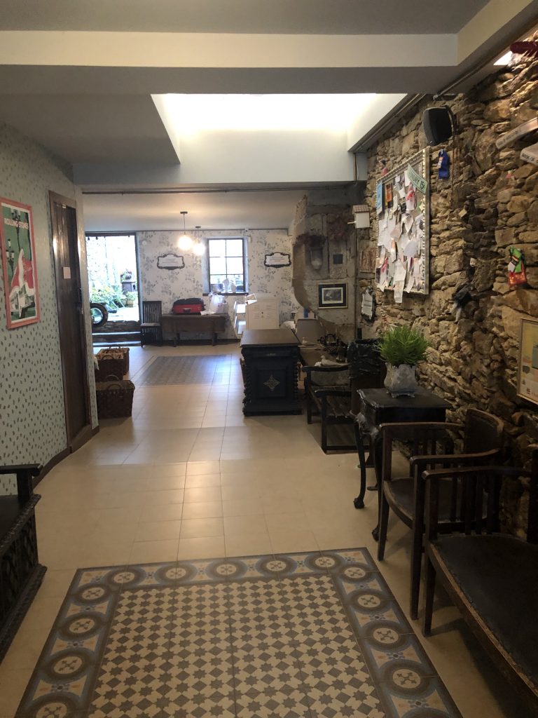
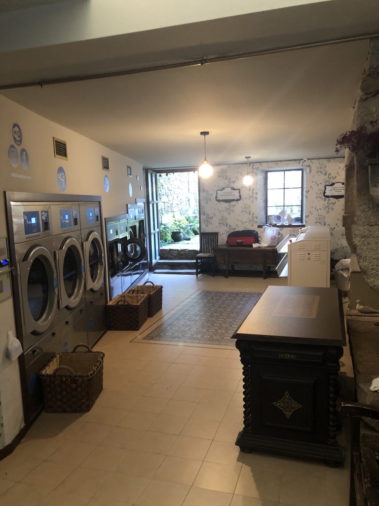
There is much to see and do here, but I’m only taking one day before walking on to the Camino Finisterre. This is a day of rest and of tending to small tasks: a trip to the Pilgrim’s Office for my Camino Finisterre credential, laundry, farmacia for magic Spanish ibuprofen. I slept until 8:15, toddled down the street for cafe con leche and fresh-squeezed orange juice then stepped a little more lively further down the street for huevos fritas and pan. Now, I’m back in bed working up the energy to shower and start my day. Maybe I’ll be out and about by noon!
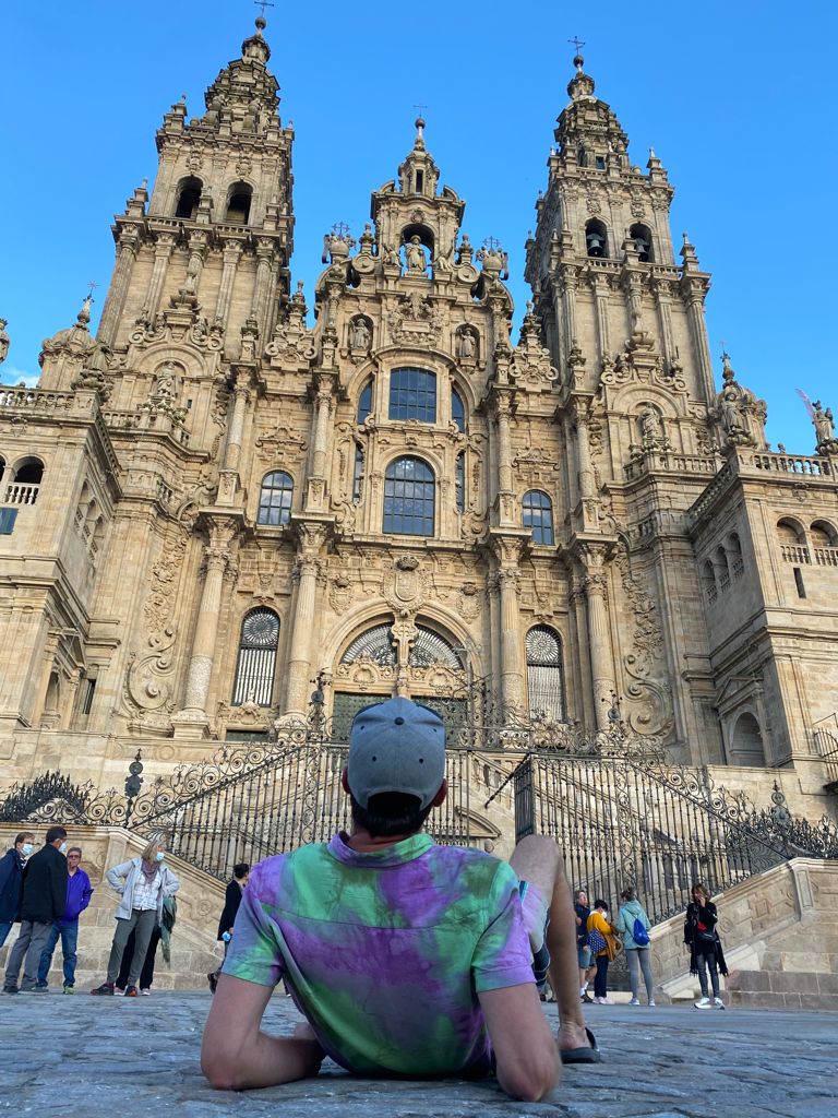
Lars ( Germany) This fellow was hanging out in front of the Santiago cathedral awaiting my arrival. We took a picture on his phone, but I don’t have it yet. This photo was taken in Leon. He gifted me a pretty tube for my Compostela, took me to the location and explained the Compostela-getting process. Then he was off to hail a cab and head home. What a special surprise!
You may recall the video of Chris’ performance in the big hoop (if you are on my Facebook group- I haven’t been able to upload videos to this blog via my phone).
I met him and his Camino family sometime around mid-September. They are the ones who threw me the impromptu birthday party. I happily ran into Chris (London) and Josephine (Denmark) last evening. Today, Chris returns to London and Josephine walks on to Finisterre.
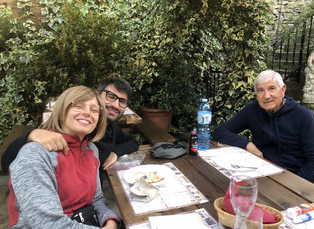
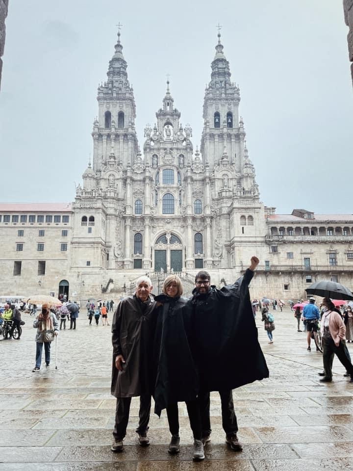
Alberto , 73 and son, Damiano with his girlfriend, Valentina. Met this great family at the top of a hill somewhere while we caught our breath. Alberto is retired military and was well-prepared & trained for this walk. The “kids” didn’t have much time to train, so in the early days, they were getting pretty sore. Damiano is an IT healthcare software designer with a pharmacy solution and Valentina is a doctor. Many conversations, a breakfast and a dinner here and there along the way. Damiano thinks my next walk should be between Toscana and Rome. Hmmmmm
Valentina, Damiano, and AlbertoAnd here they are! Oh my. That was a rainy afternoon!