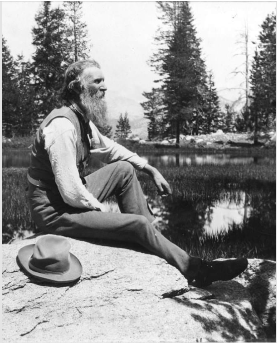
“I don’t like either the word [hike] or the thing. People ought to saunter in the mountains – not ‘hike!’ Do you know the origin of that word saunter? It’s a beautiful word. Away back in the middle ages people used to go on pilgrimages to the Holy Land, and when people in the villages through which they passed asked where they were going they would reply, ‘A la sainte terre’, ‘To the Holy Land.’ And so they became known as sainte-terre-ers or saunterers. Now these mountains are our Holy Land, and we ought to saunter through them reverently, not ‘hike’ through them.”
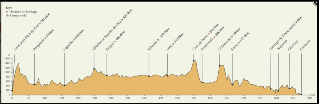
Camino Frances elevation map. Starting on the left at Saint-Jean-Pied-de-Port, France, the high peak is the path on which we cross over the Pyrenees Mountains into Spain. All those little peaks.. I promise you, don’t seem like little ups and downs when you’re huffing and puffing along.And this is the path we walk on the Camino Frances. After 5-6 weeks of walking all day, and always walking west, the left arm and side of the face takes a beating in the sun!
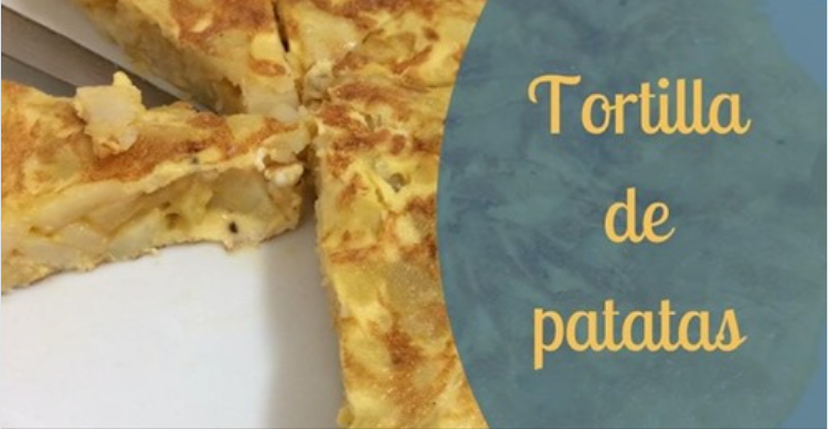
On the Camino, I passed on the delightful pastries in favor of the protein and stick-to-your-ribs Spanish Tortilla. Ate it nearly every day and got pretty tired of it, that’s for sure. But it was a solid breakfast that kept a pep in my step for many kilometers. No sugar crashes!
This was my 2019 camino. You can see the gap around Leon (where I took the train because I was going too slow to finish before my flight home) and then the gaps going into Santiago.. where I was walking/not walking with pneumonia. I kept my phone on all the time and was connected to google so John could track and see where I was. Hopefully, I’m going back in Sept 2021 and will start over.. this time with no gaps The dots follow me on my walk.
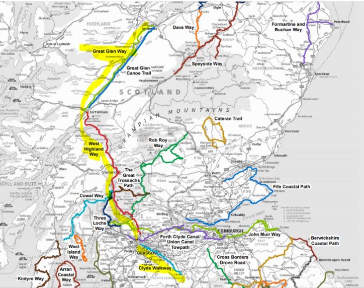
Exploring Scotland’s Great Trails. Looking at three that connect, south to north: Clyde Walkway, West Highland Way, Great Glen Way. Total 344 km/ 215 miles. I’d go slow with a rest day between each trail, so would probably be about 23 days. At least one region along the Camino Frances in Spain is closed until May. That means all those with spring plans will show up in the fall when I had planned. I’m thinking it will be an accommodation nightmare, so I’m looking at 2021 alternatives. The map is taken from a Scotland Great Trails map.
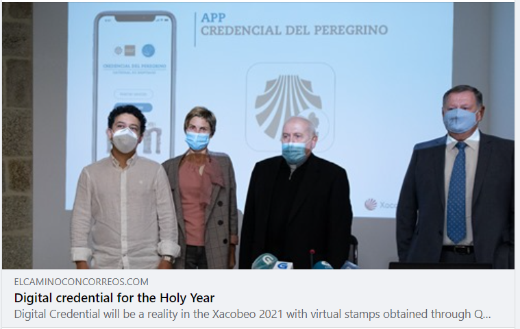
A digital credential comes to the Camino. We can also still have our paper one that gets stamped as we go.. or we can have both. I’m likely to do both.
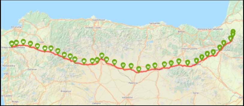

 The dots follow me on my walk.