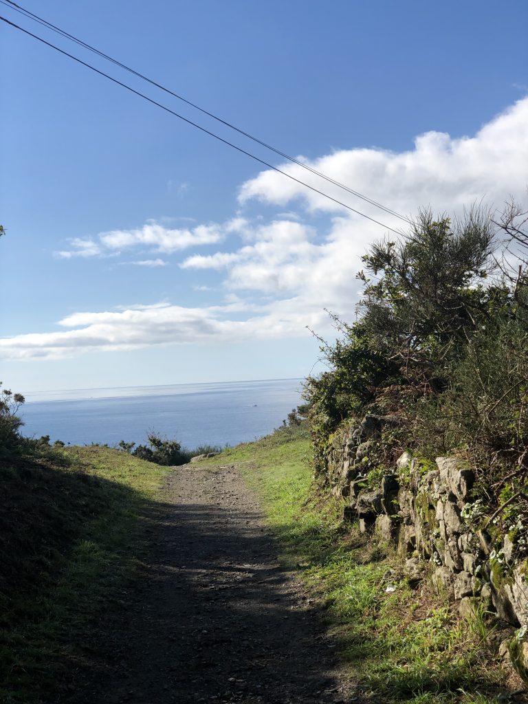
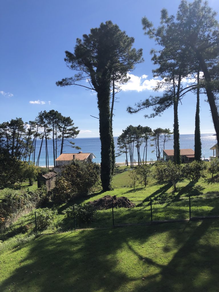
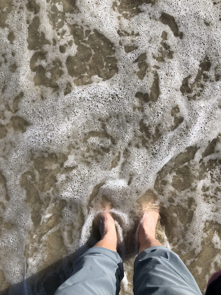
A perfect day for a perfect walk (as long as I don’t count the fall or walking 2 km past my hotel). Photos and such soon. My boots are off and won’t be on again until I’m on a trail at home. Bus and taxi are my friends!
A Day On A Path
A perfect day for a perfect walk (as long as I don’t count the fall or walking 2 km past my hotel). Photos and such soon. My boots are off and won’t be on again until I’m on a trail at home. Bus and taxi are my friends!
Love short days!
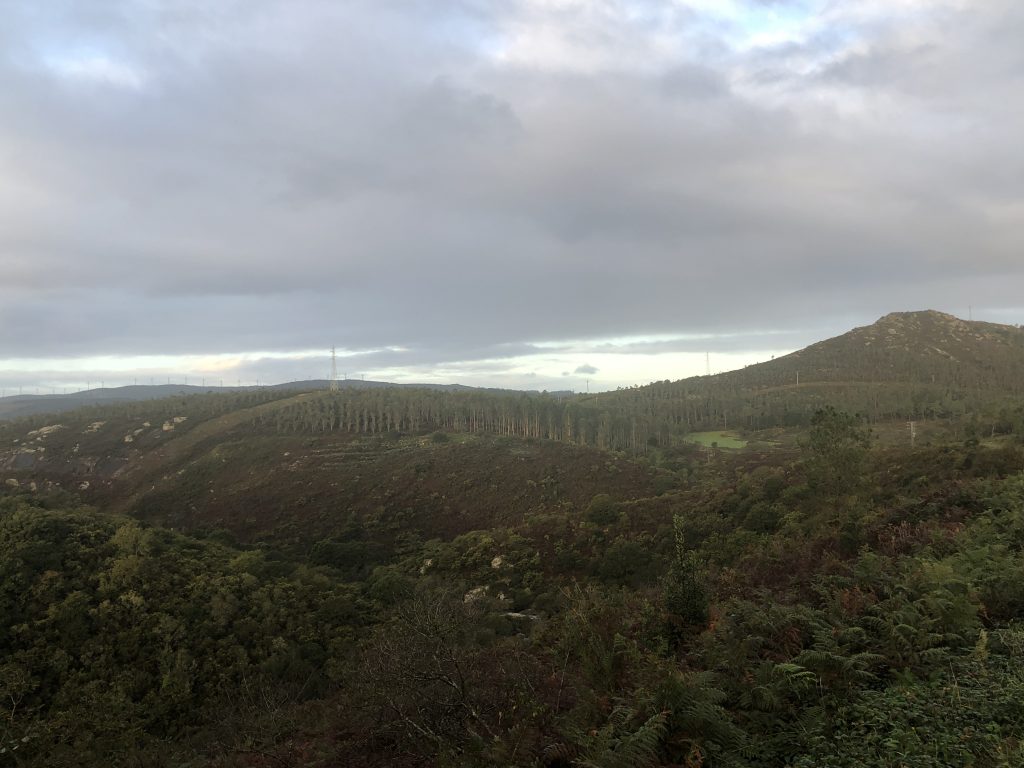

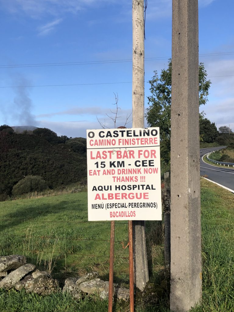
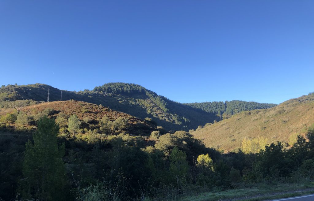
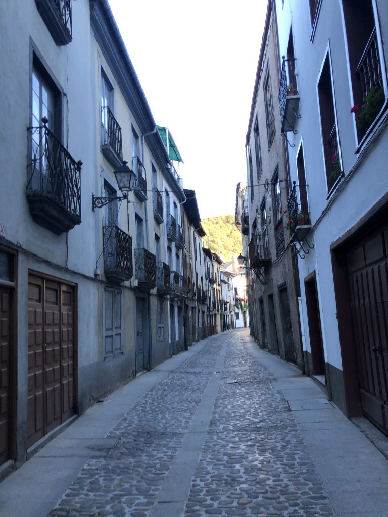
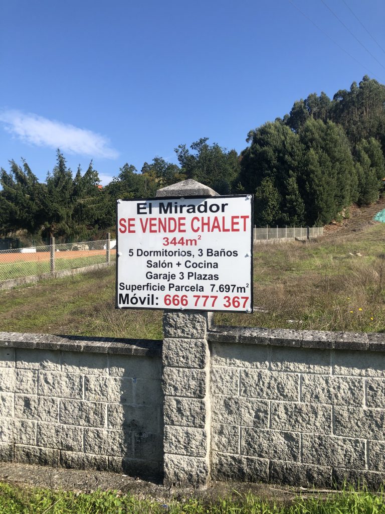
What a different route this was from the Camino Frances. There were some pretty paths, but most of this 15 mile walk was on a road of some sort. We walked through the outskirts of villages through rich neighborhoods of chalets, big houses with big gates and there was only one bar/cafe open on the entire walk. Oh. And that hill that climbed for over two miles.

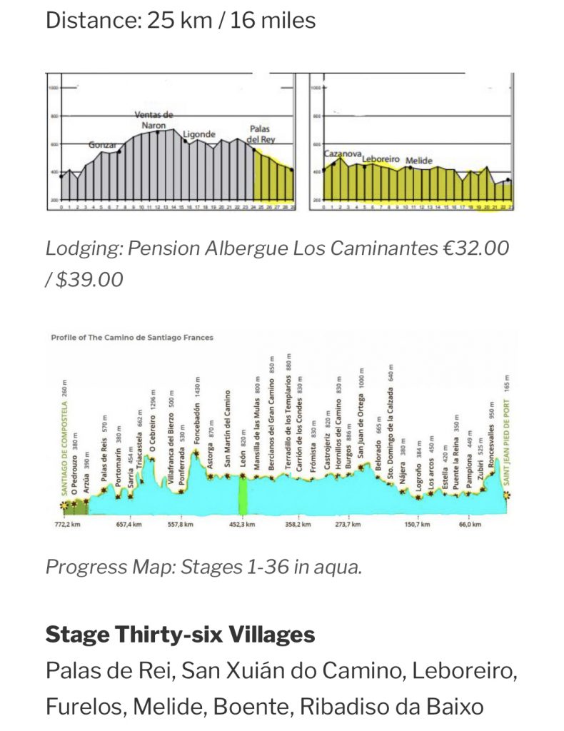
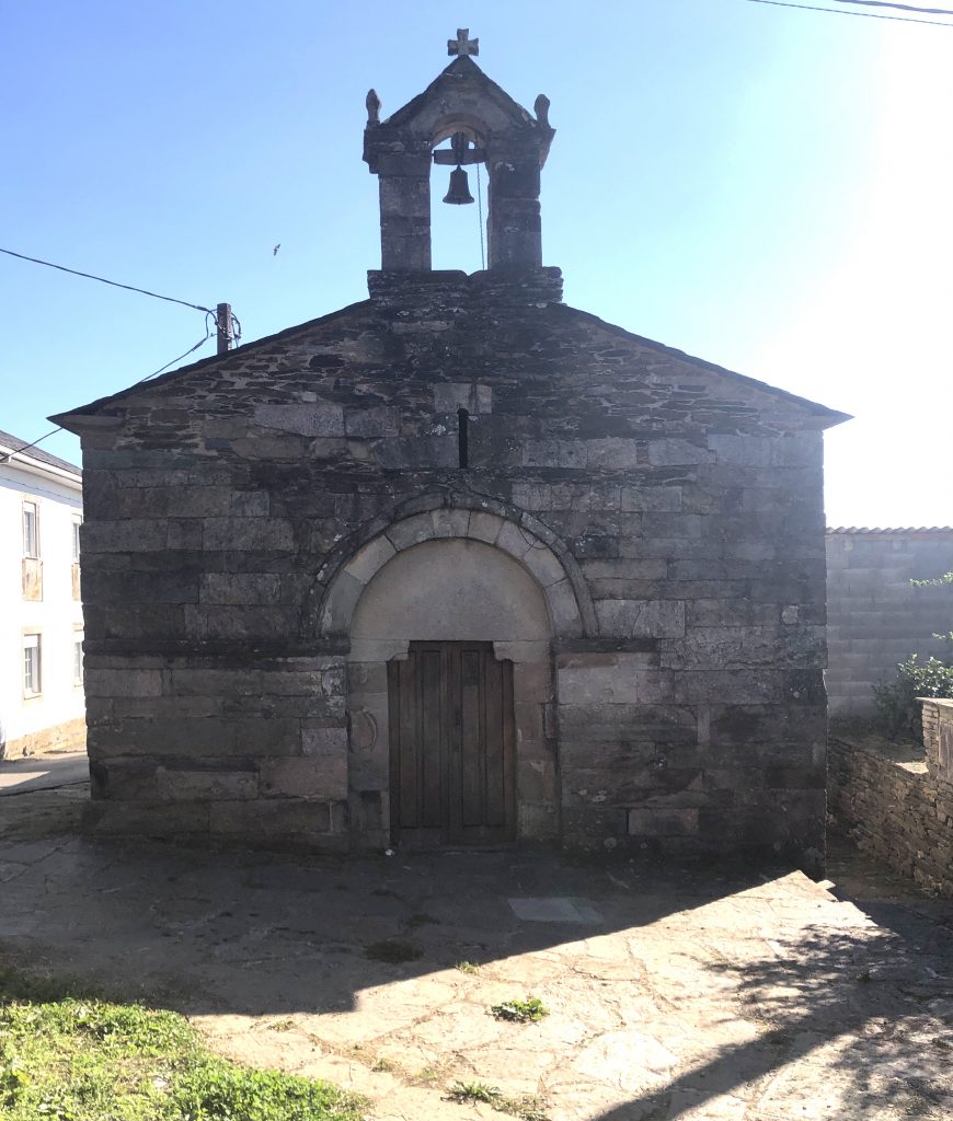
Tidbit: Ribadiso da Baixo has a population of 9. Obviously their economy is entirely pilgrim-based.
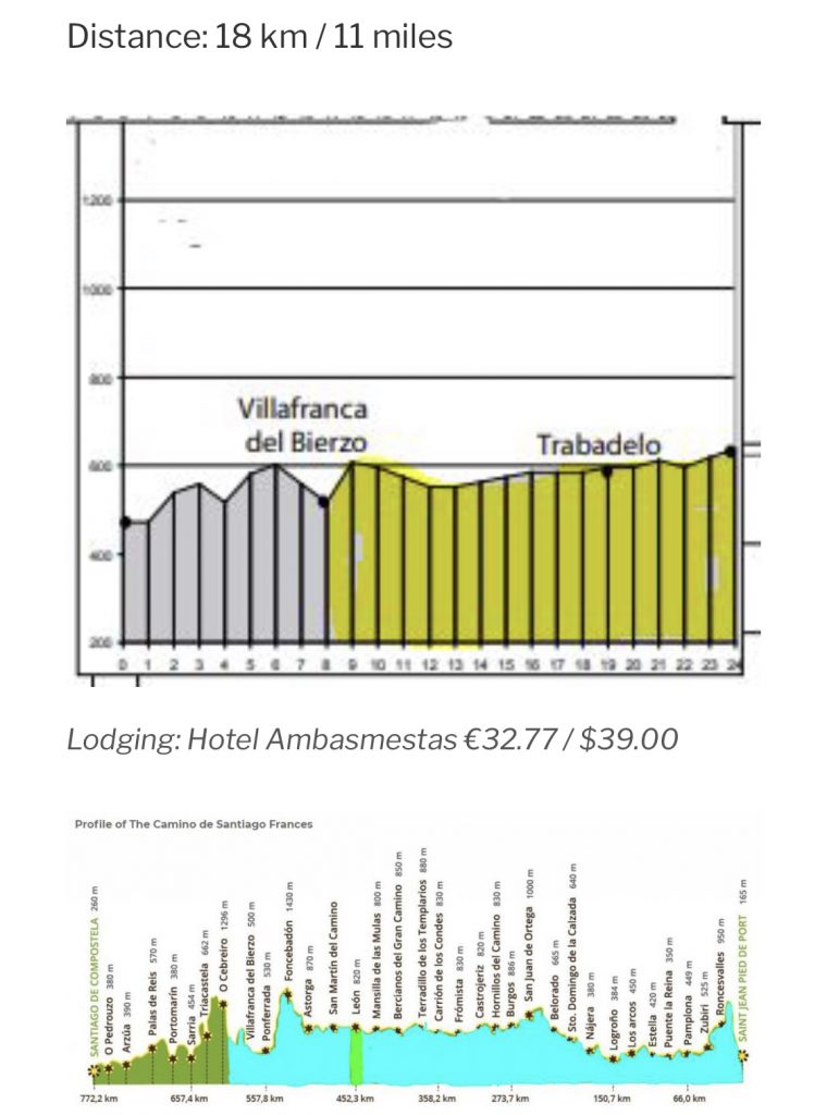
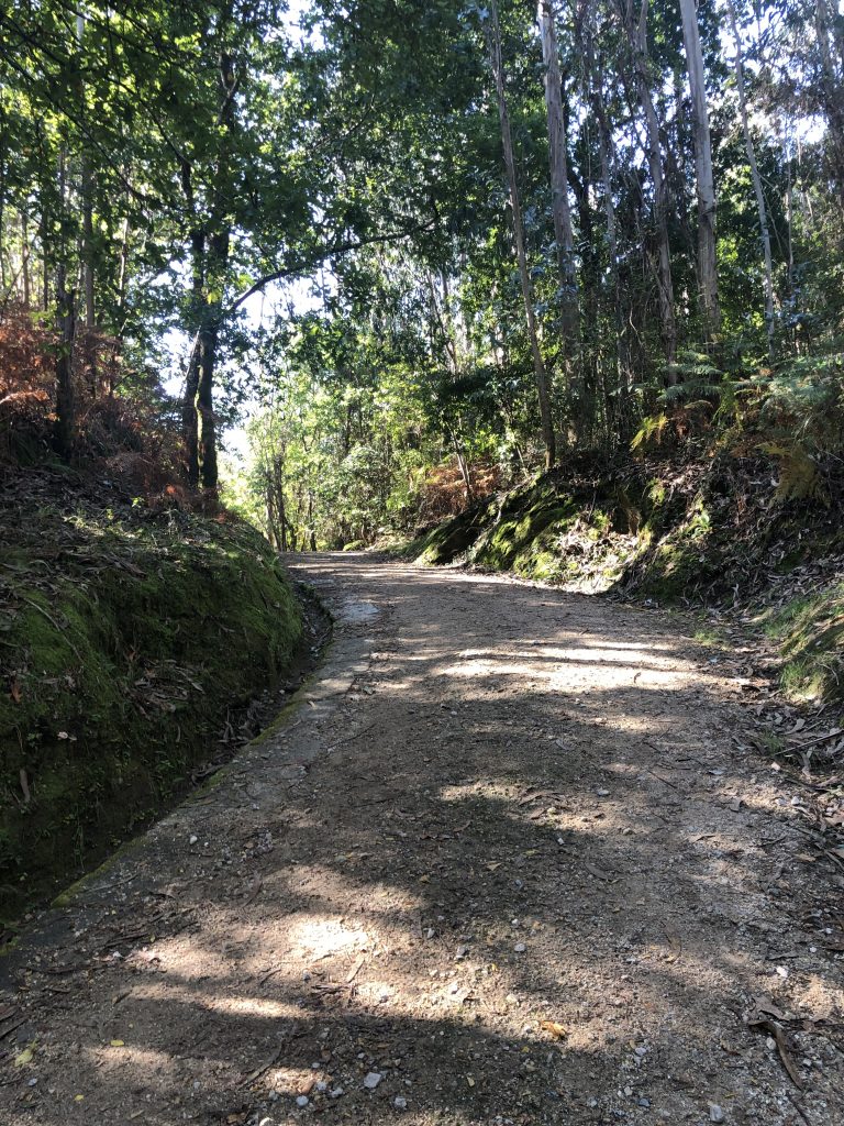
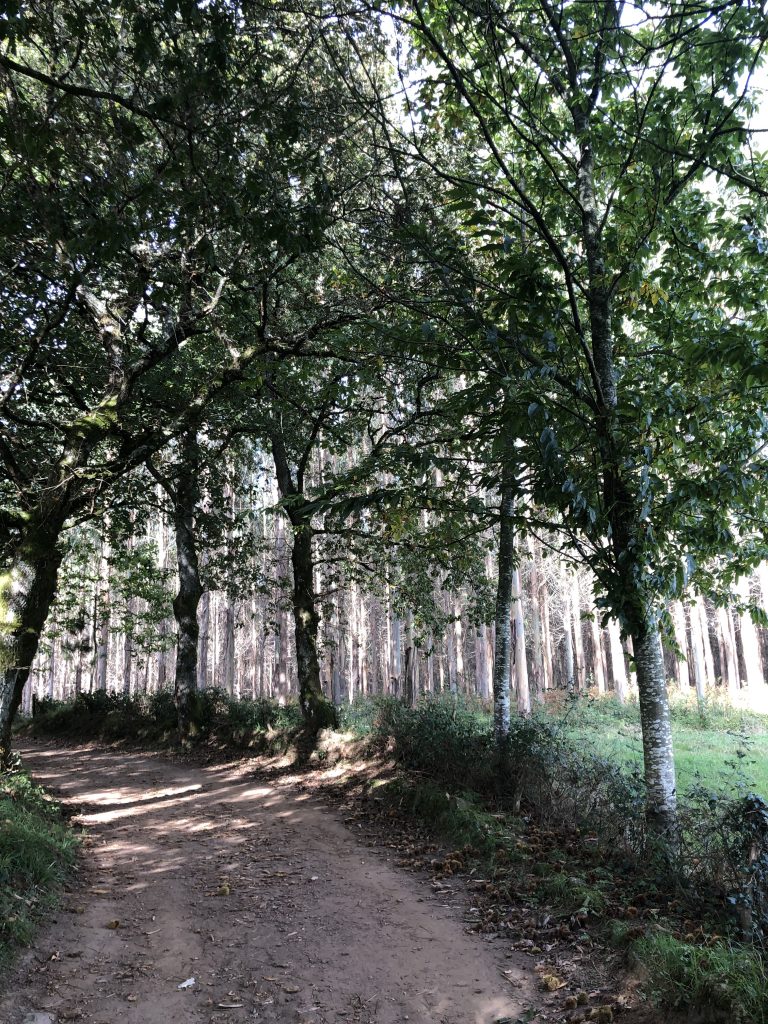
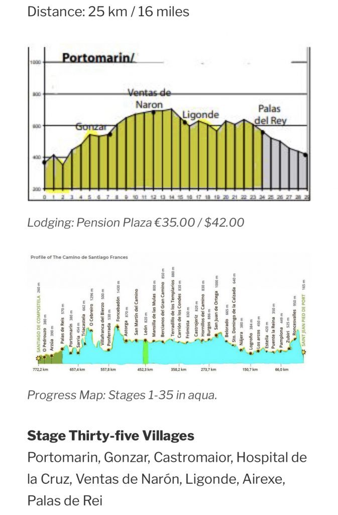
Today’s path continued through woodlands. There is infrastructure improvements in many villages. I wonder if the villages received COVID grants to help this Camino-based economy? The result of the roadwork was a net increase of 4 km to an already 25 km day due to detours and reroutes. (At least, I’m guessing that’s what caused the extra 2.5 miles.) I walked my 16.5 miles and taxied the unexpected extra 2.5 miles. I was at my limit.
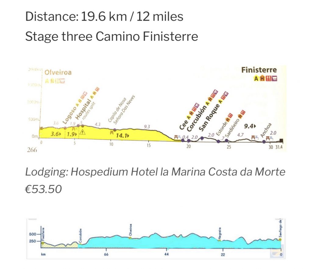
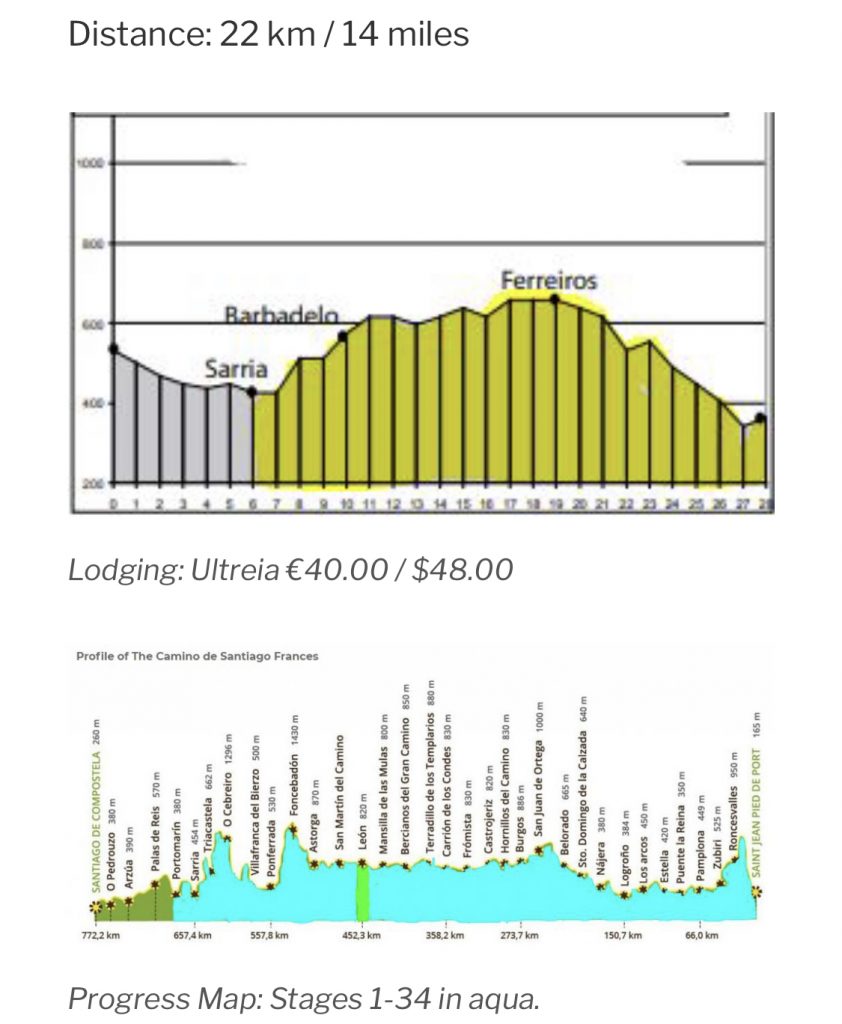
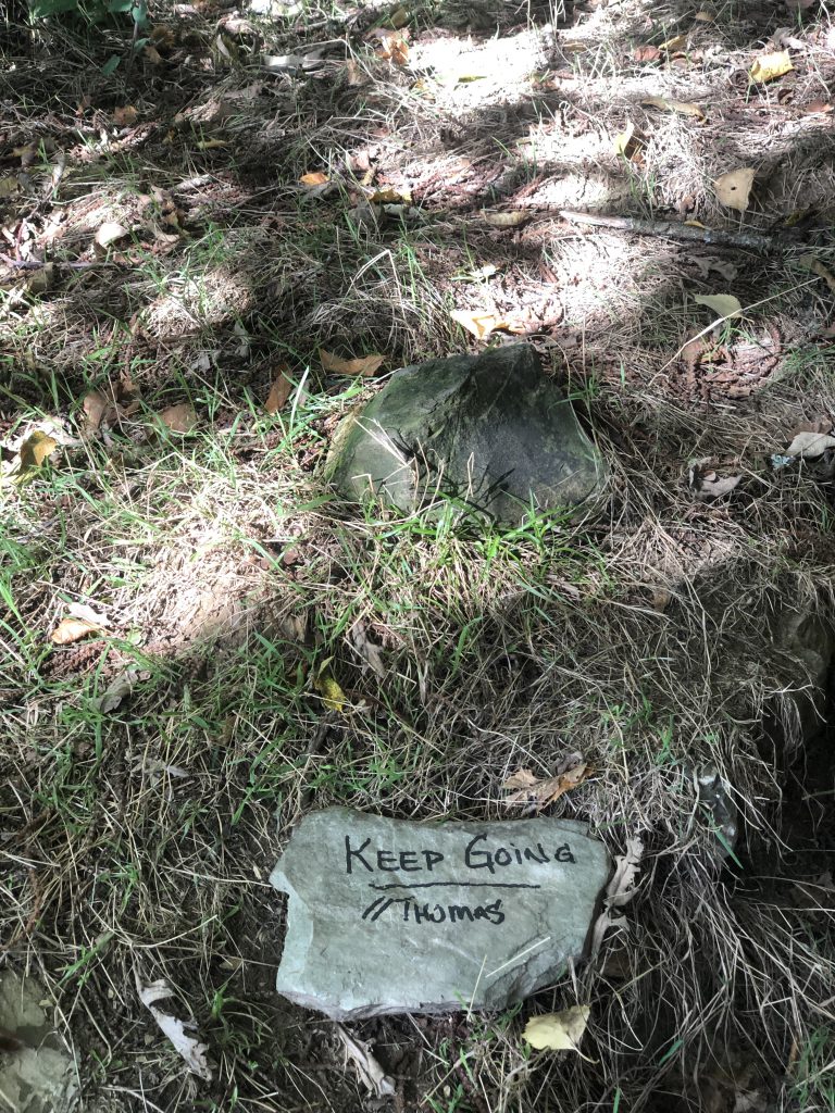
I’m tired and this looks like a long hard day.
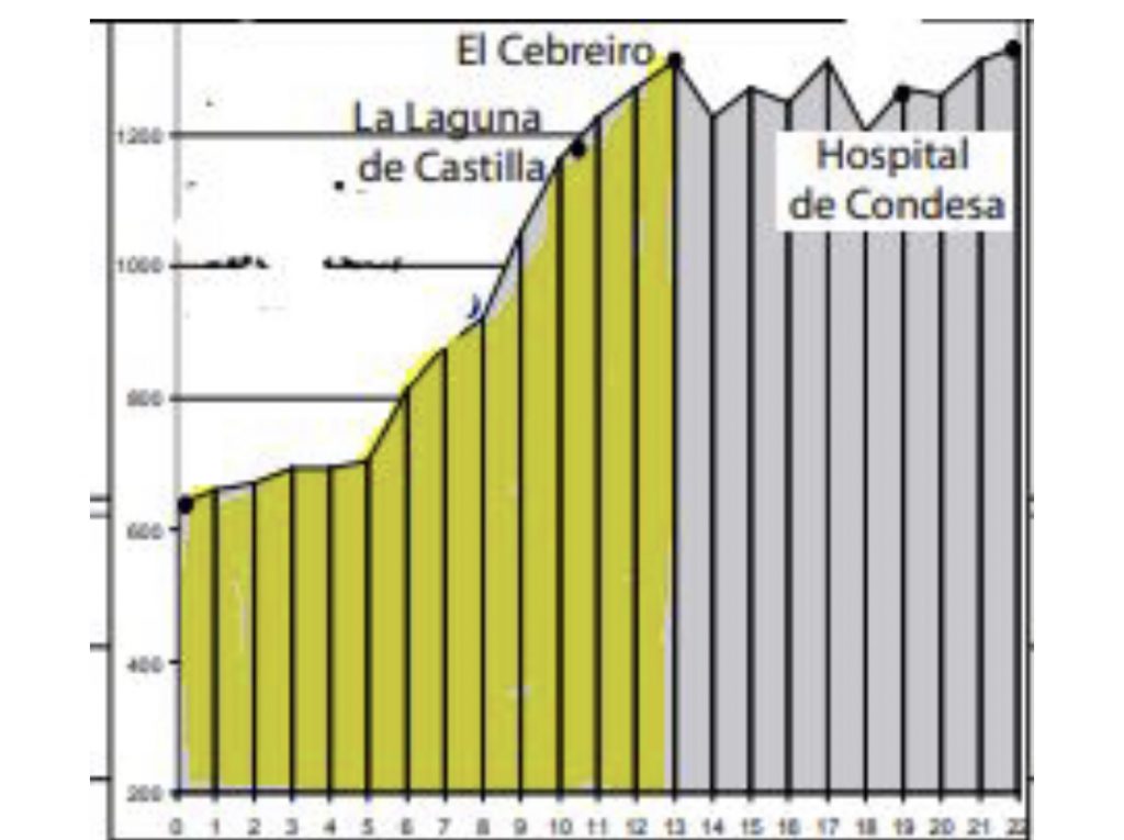
There were two routes out of Portomarin. I think this elevation map was for the more difficult route. The easier route wasn’t shorter, but had less elevation gains.
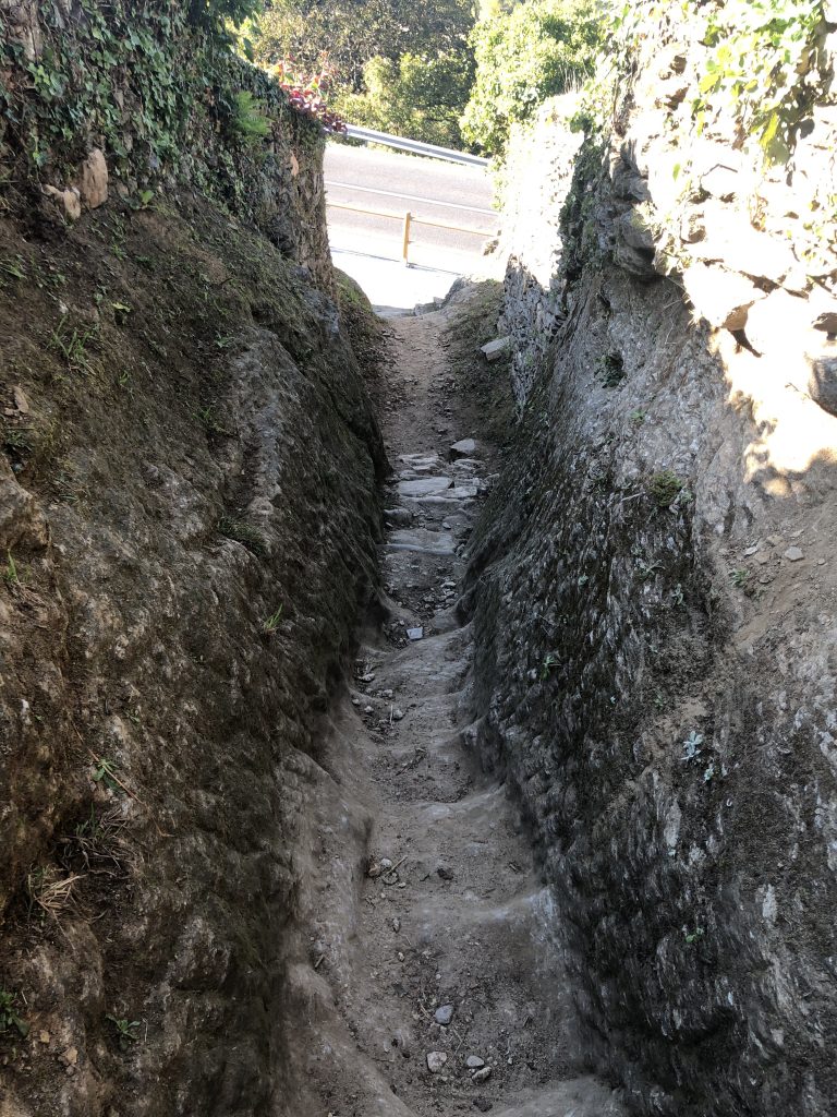
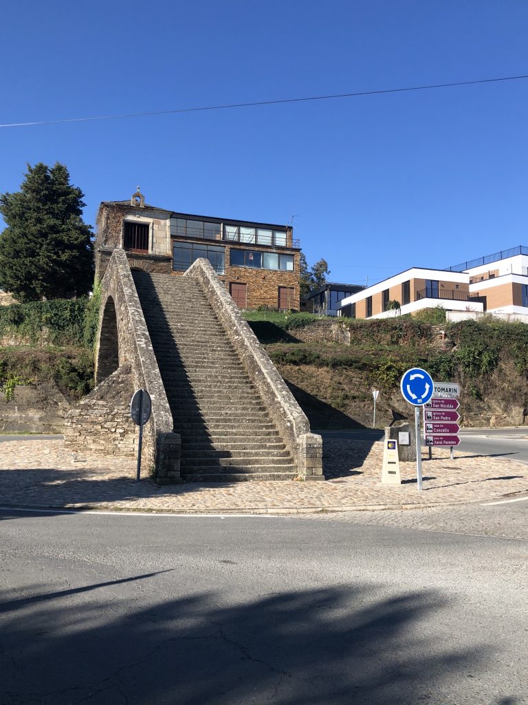
I obviously entered Portomarin from the other road in 2019 because I sure didn’t see this coming! No photo of the path until I was near the end because I was in survival mode. Scooted down a couple of places on my rear.
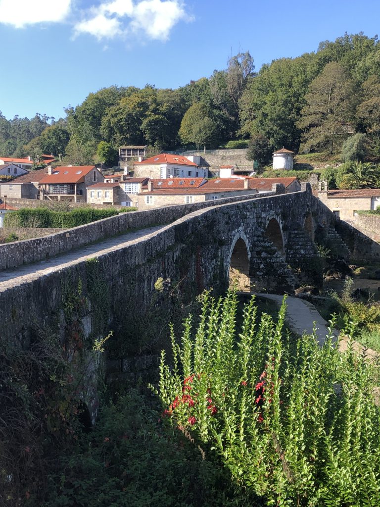
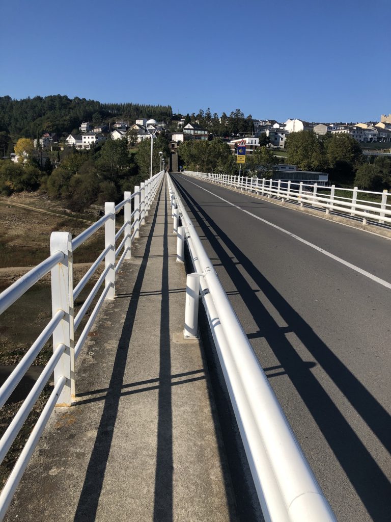
THEN cross the long bridge. THEN up the stairs to the town. THEN up the hill to lodging.
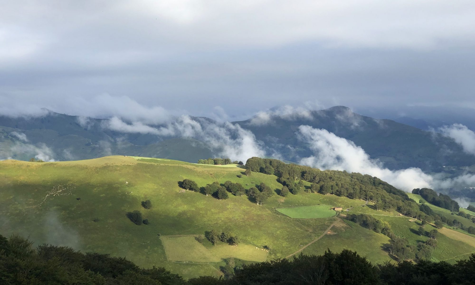
As I walk along, I often think what section of this route I would recommend to someone with only a couple of weeks to spend walking. I’ve met a few who started in O Cebreiro to walk to Santiago. The long descent from O Cebreiro offers a good endurance experience and the walk out of Sarria is one of the loveliest. Not as majestic as crossing the Pyrenees, but still challenging for one’s first days.
Most common is the walk from Sarria to Santiago because that is the minimum requirement to receive a Compostela and it only takes a few days.
Quick review of the last two days. WiFi connectivity has been sketchy, so just a quick catch-up. Up and down. Up and down. Up and down. That pretty much sums up the walking days! The ups are hard for me; I may be the slowest person crawling up these ascents, but I eventually get there. I’ve been taking long breaks at the cafes through the day which help.
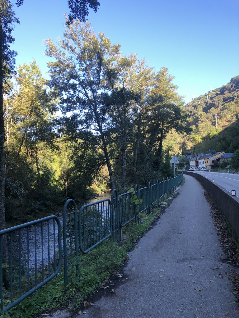
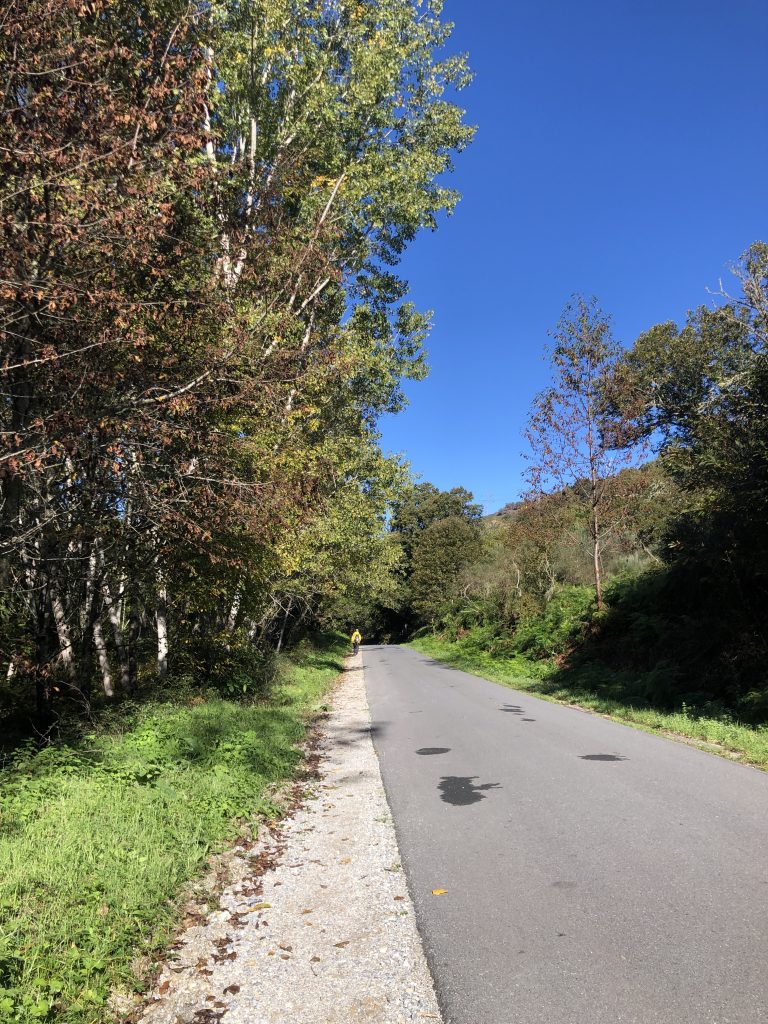
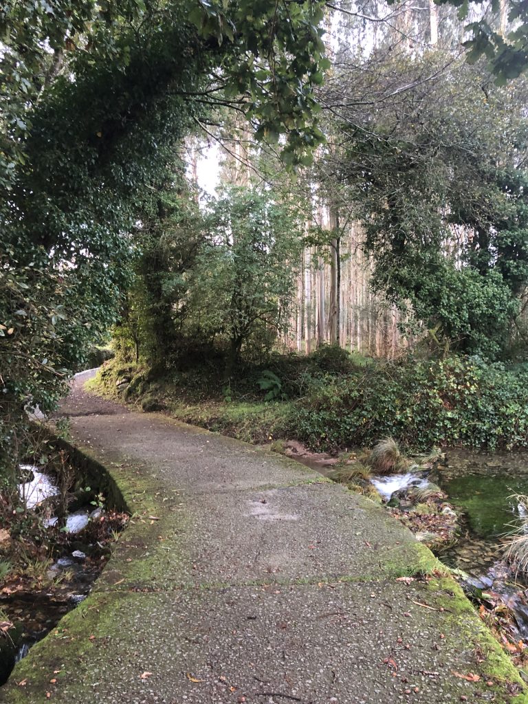
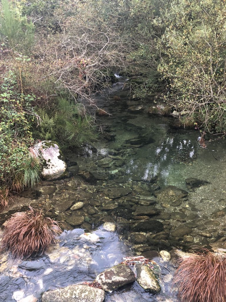
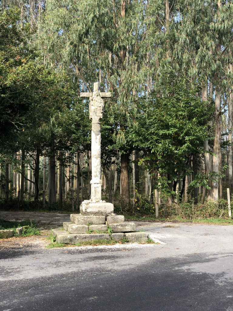
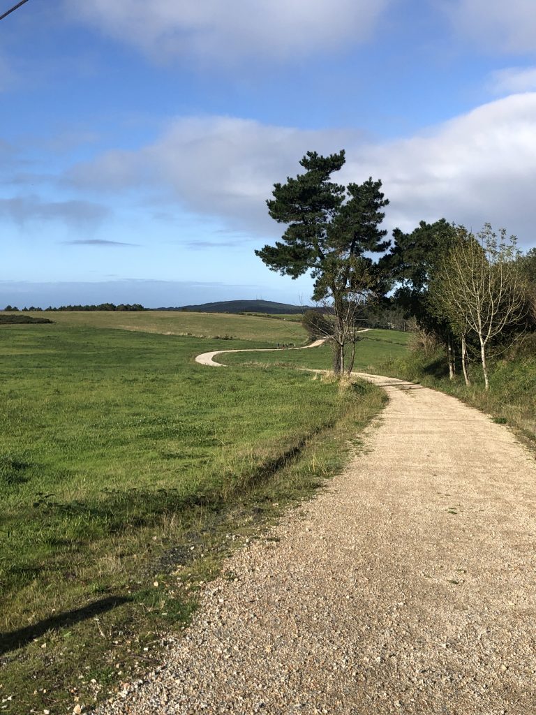
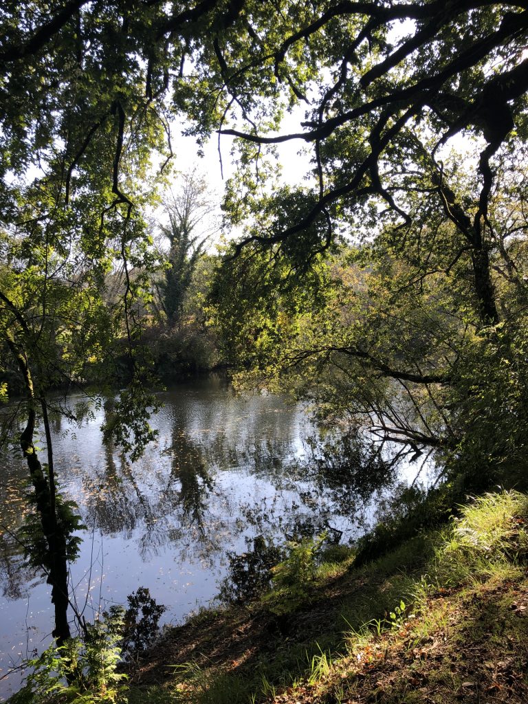
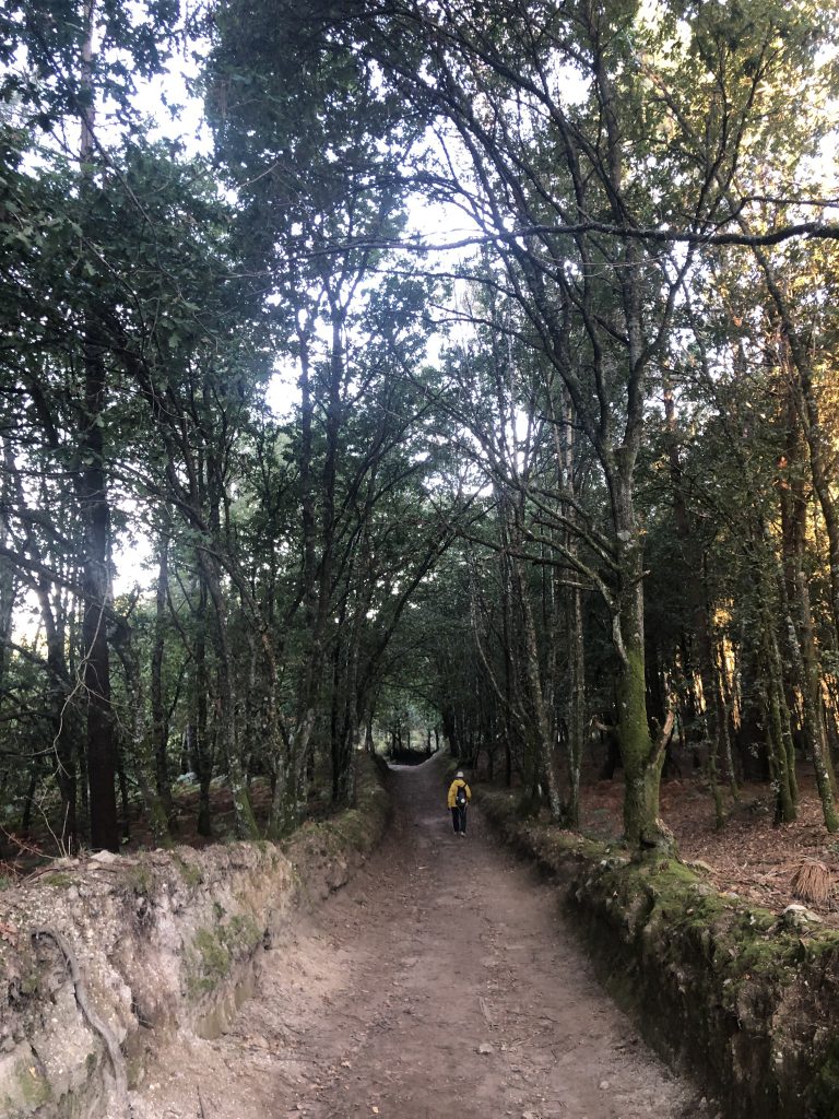
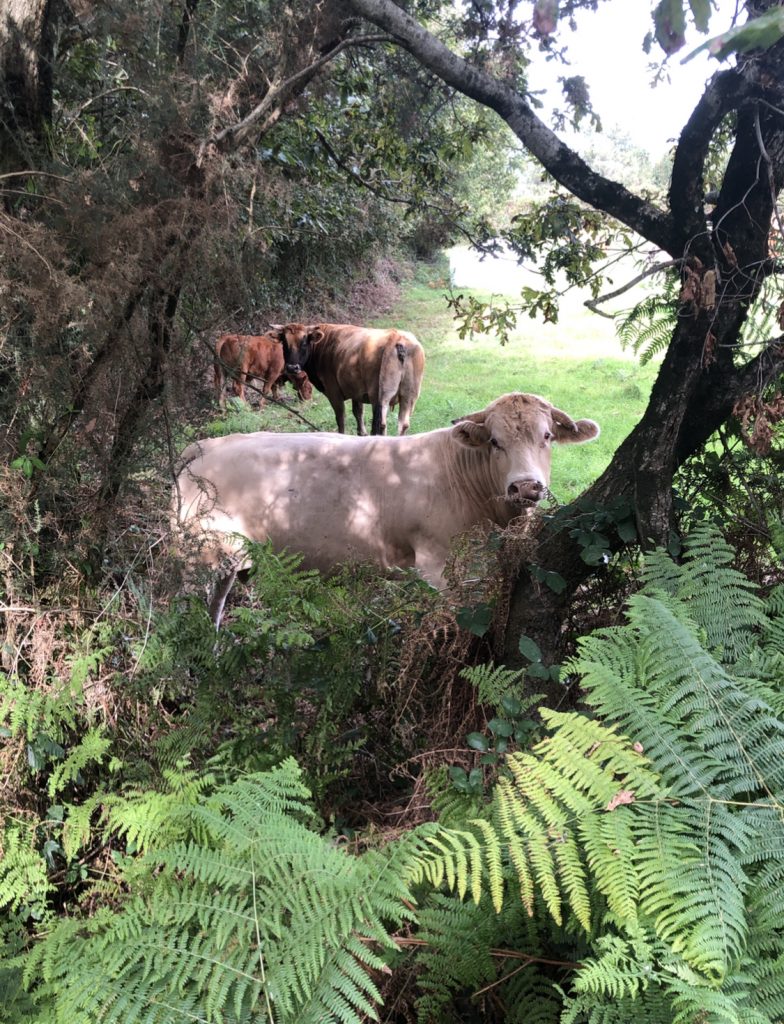
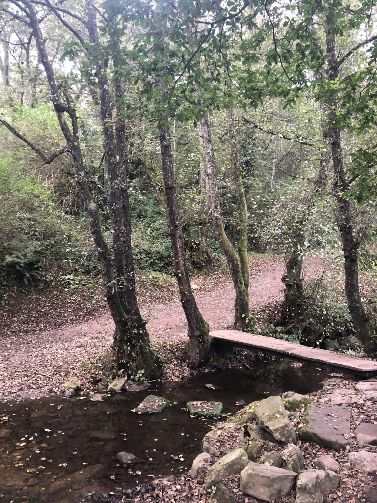
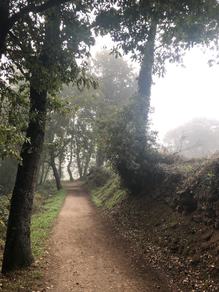
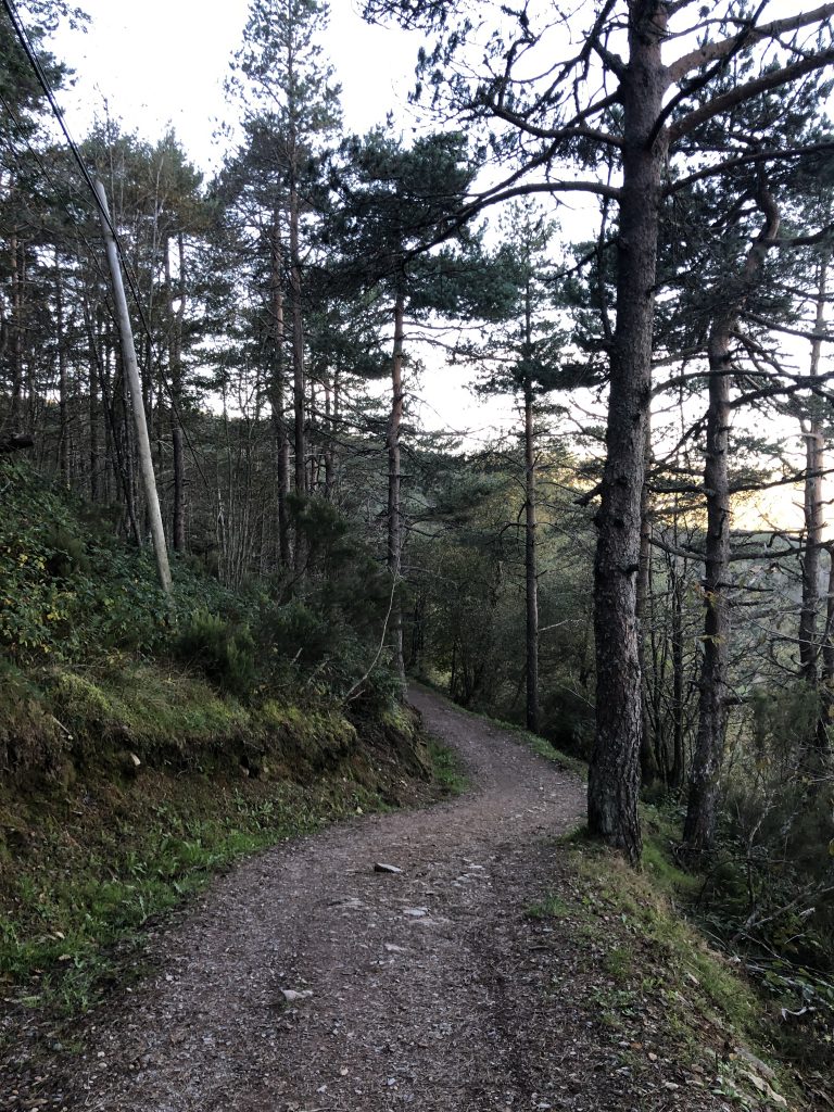
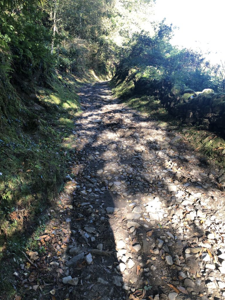
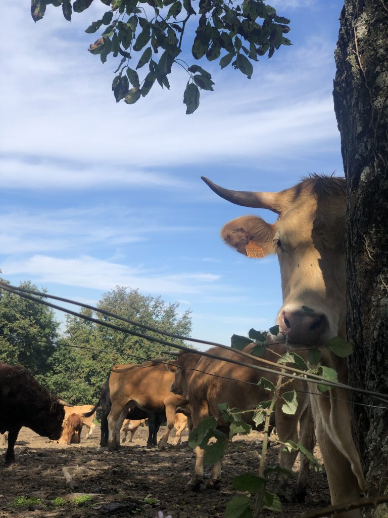
The paths are mostly through woods and along streams. Through the villages, we walk the same paths as the cows, so one must remain alert in the game of Dodge the Cow Patties!
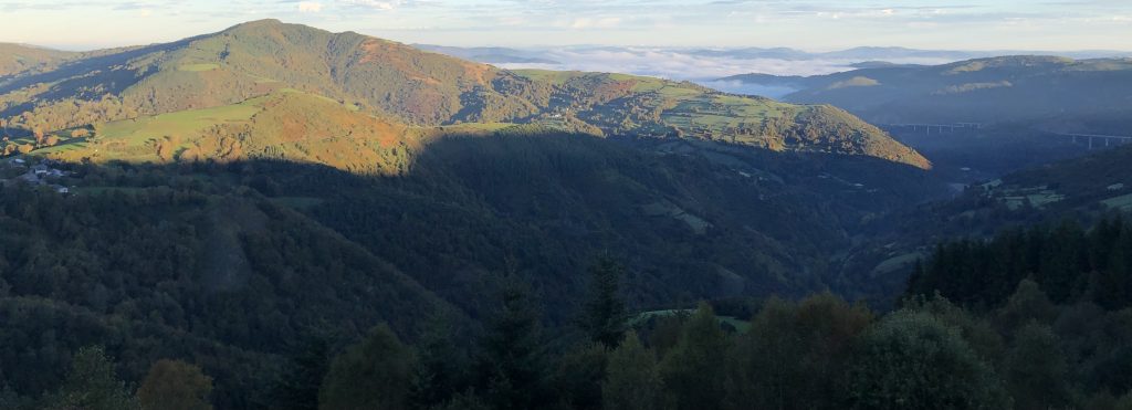
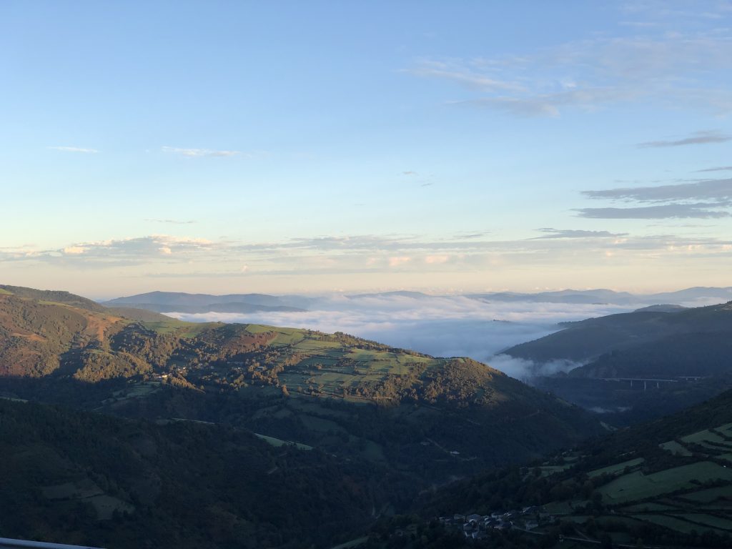
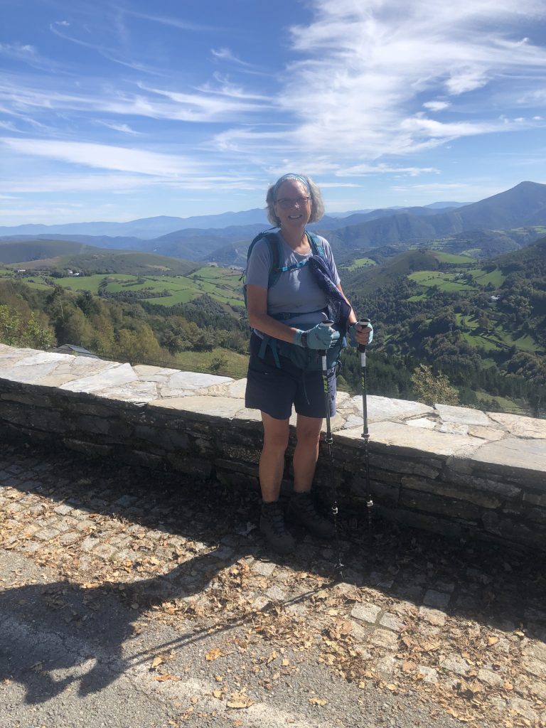
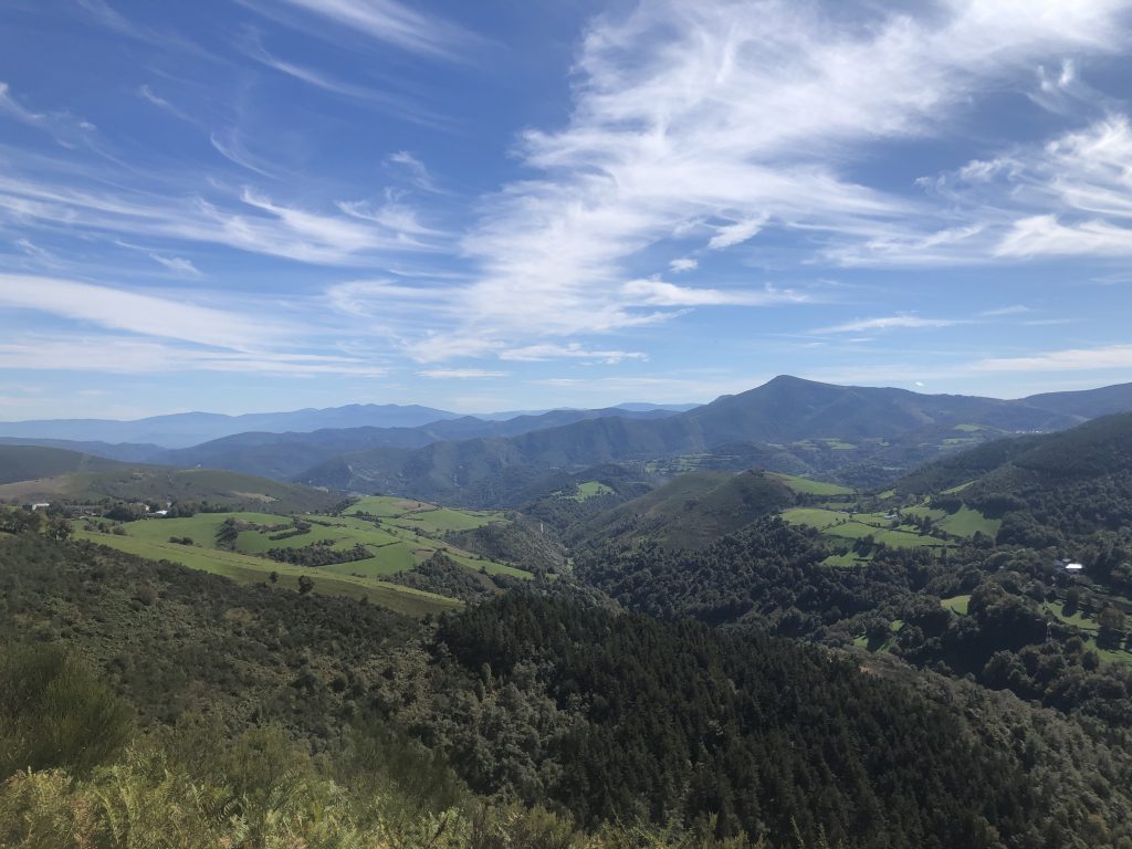
The last big climb. Entering the final Spanish region on the Camino Frances.
O’Cebreiro (pronounced oh–thay–bray–air–oh) Marks a final major threshold over the Cantabrian mountains. 3rd highest peak on the Camino.
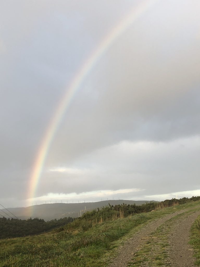
Galicia – The mountains of Galicia are the first object in 5,000 km that the westerly winds across the Atlantic hit so you can expect an immediate change in weather with frequent rain showers and thunderstorms. (Brierley)
Hi, All.
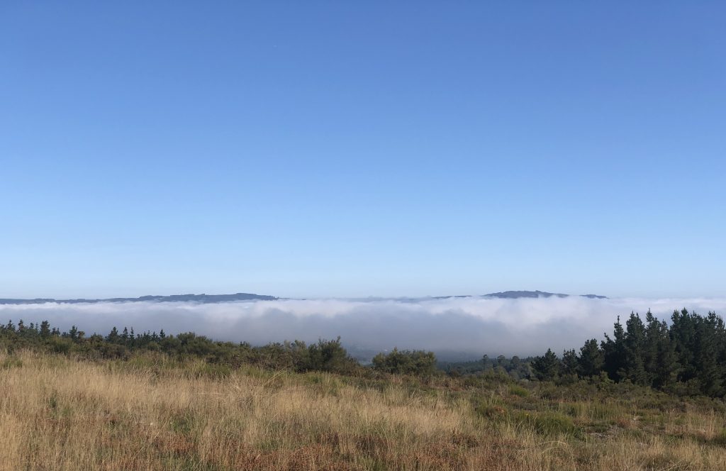
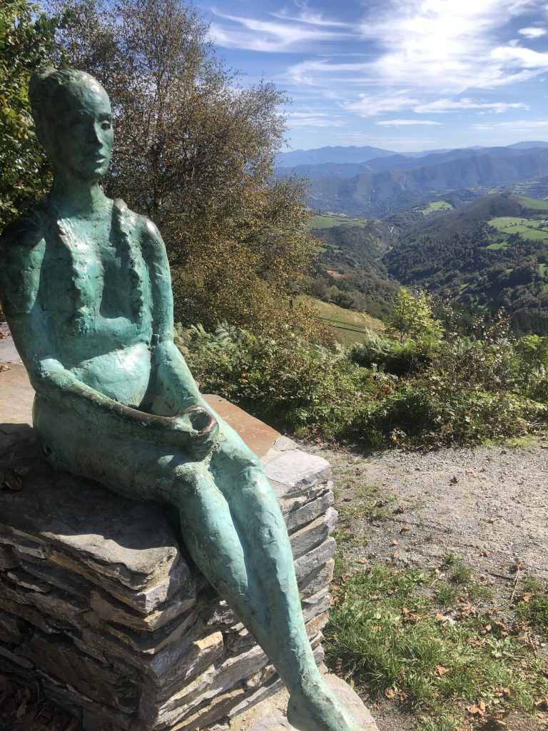
I walked up that mountain- very slowly. The views were breathtaking, the weather perfect.
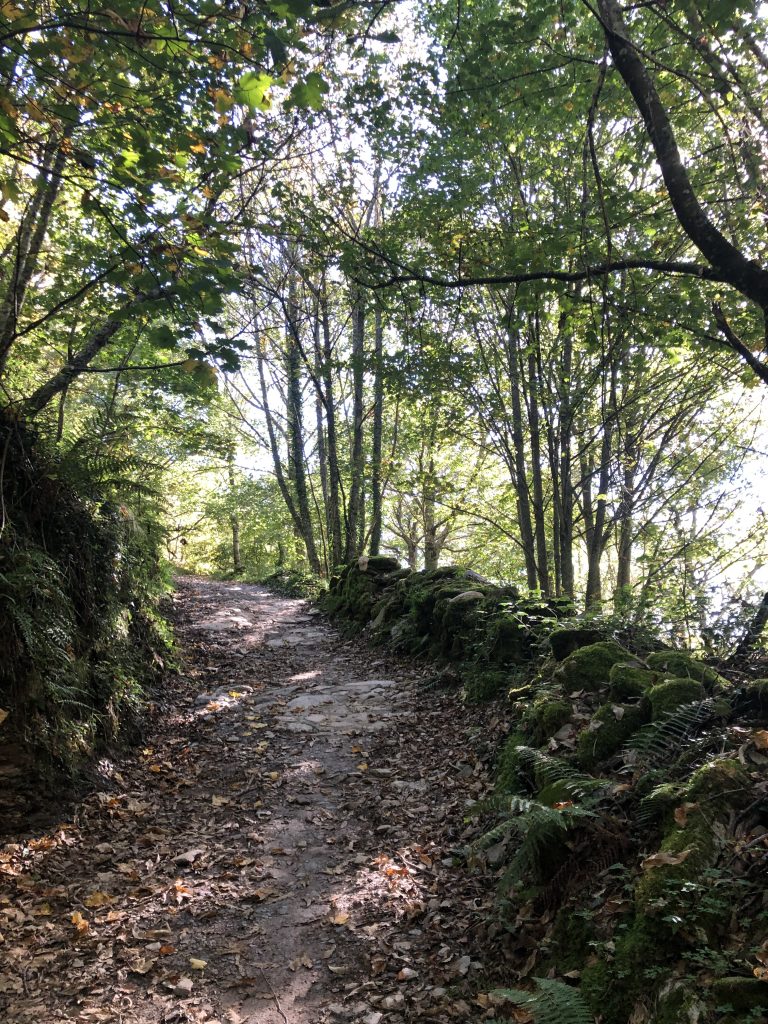
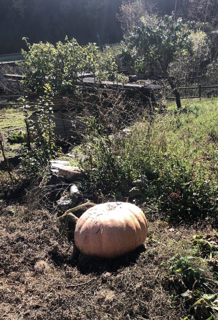
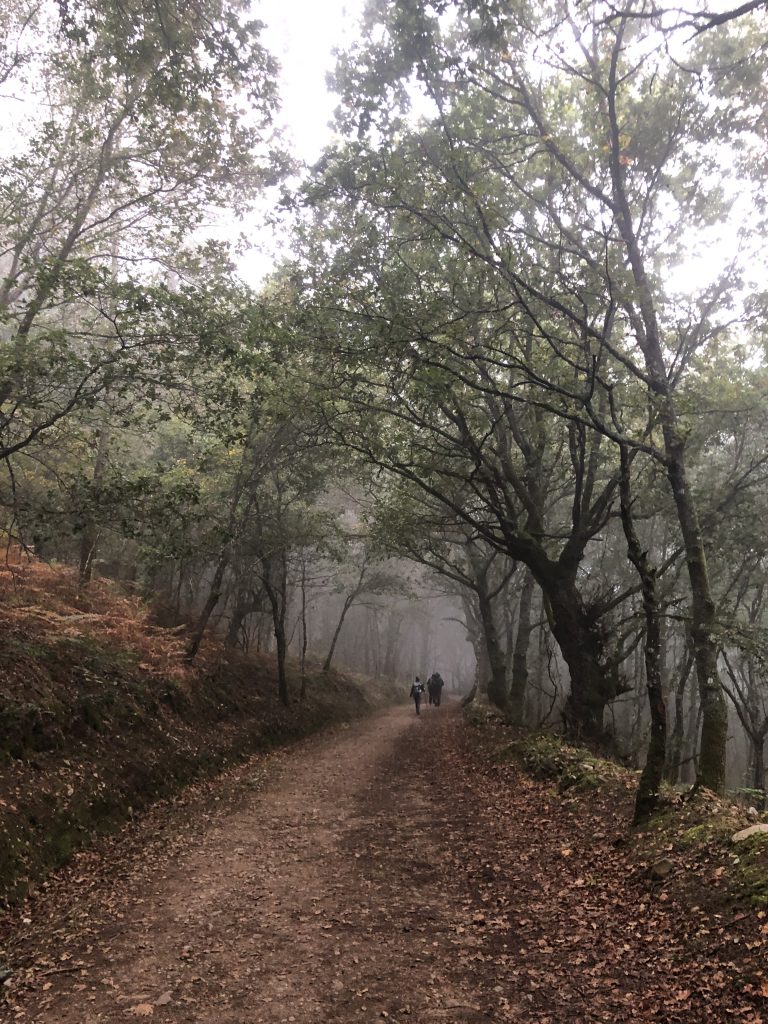
A narrow path along the road the entire day. It really wasn’t too bad because we walked along the Rio Valcarce or by woodlands and meadows. A few cows and sheep here and there.