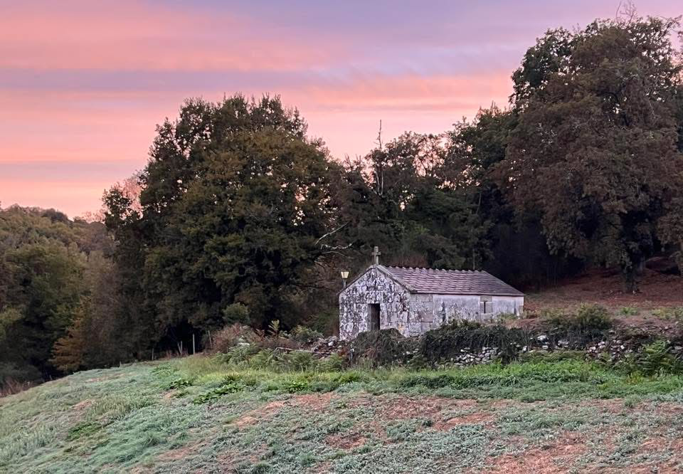
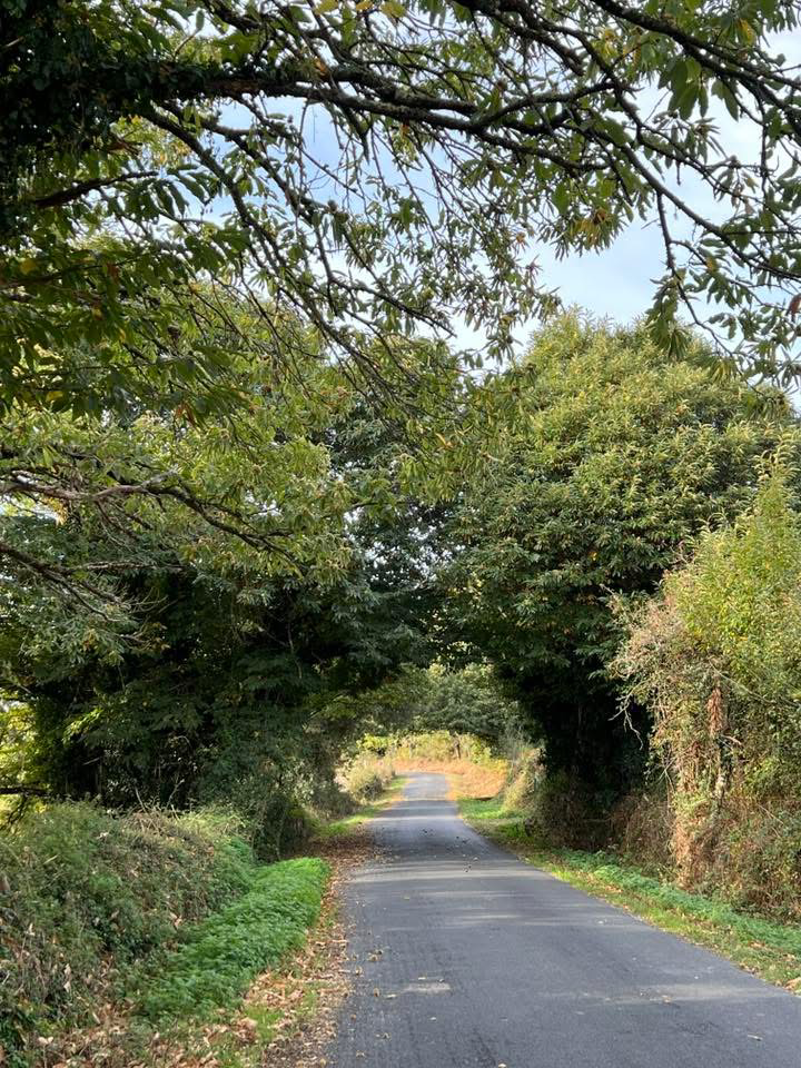
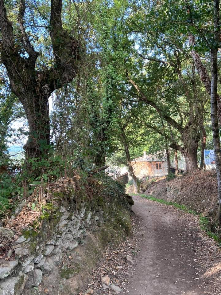
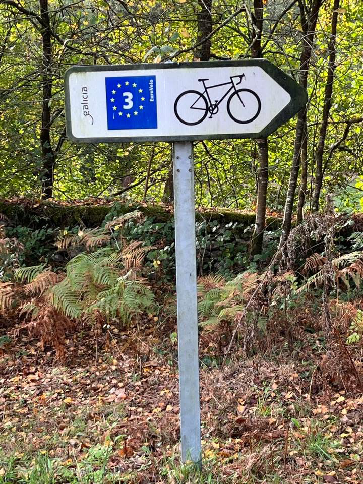
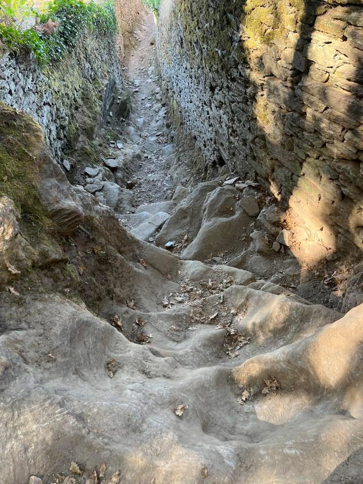
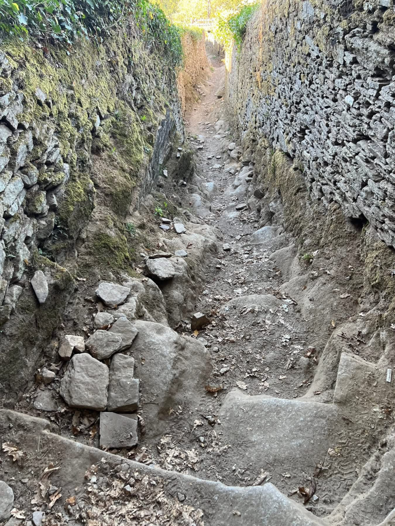
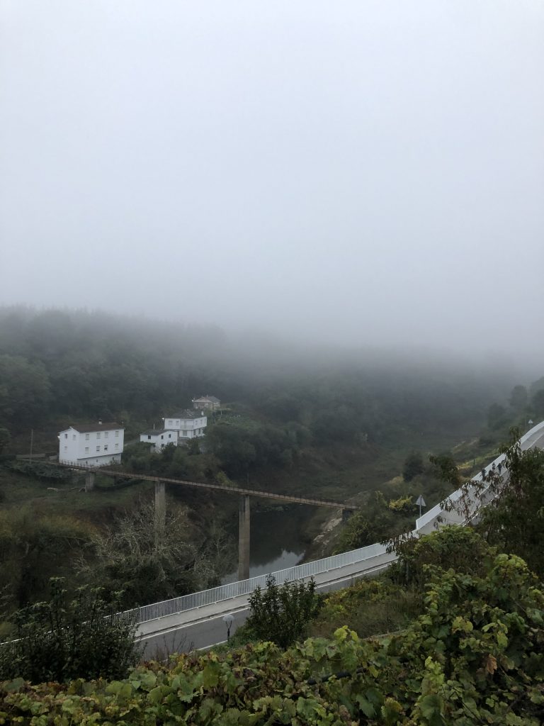
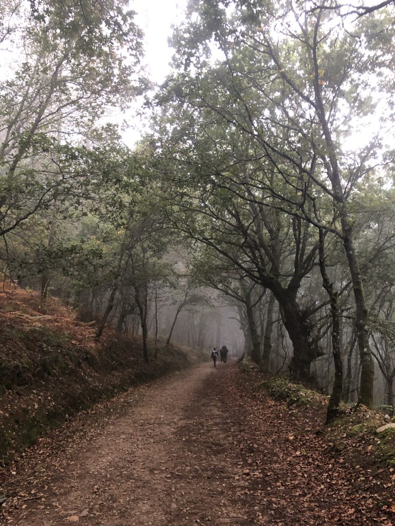
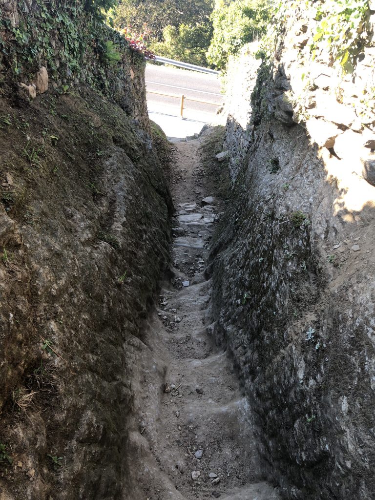
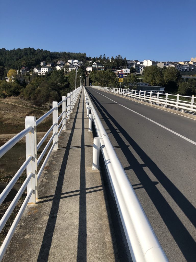
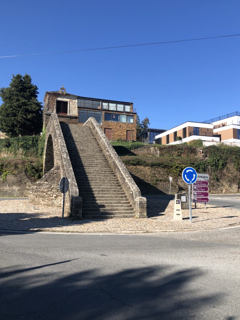
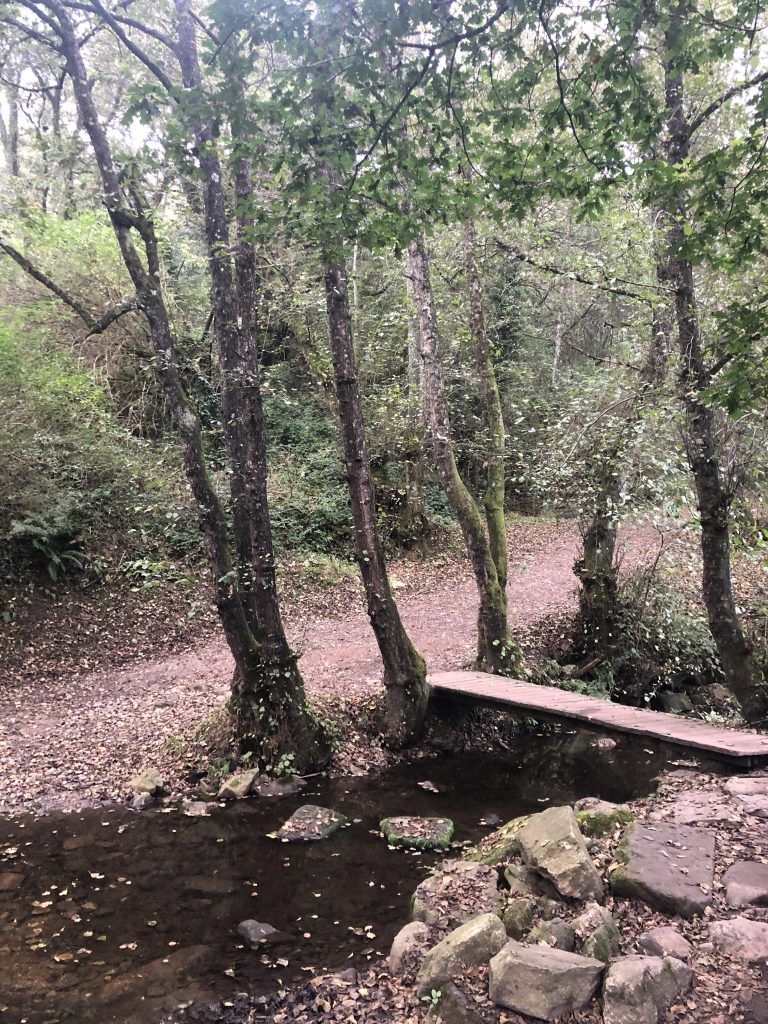
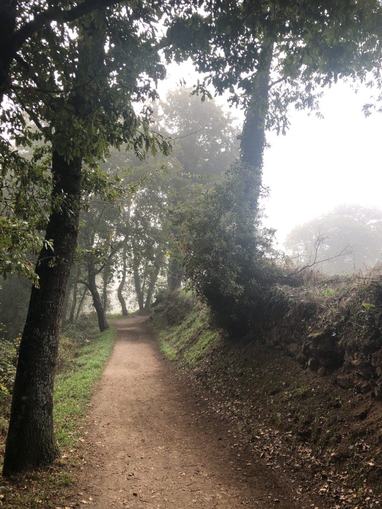
I’m tired and this looks like a long hard day.
There were two routes out of Portomarin. I think this elevation map was for the more difficult route. The easier route wasn’t shorter, but had less elevation gains.
A Day On A Path
I’m tired and this looks like a long hard day.
There were two routes out of Portomarin. I think this elevation map was for the more difficult route. The easier route wasn’t shorter, but had less elevation gains.
The city was moved. The old structures like the church were moved brick by brick and put back together in the new location.
From wiki: In the 1960s the Miño River was dammed to create the Belesar reservoir, putting the old village of Portomarín under water. The most historic buildings of the town were moved brick by brick and reconstructed in the new town, including its castle-style main church: Church of San Juan of Portomarín.
I obviously entered Portomarin from the other road in 2019 because I sure didn’t see this coming! No photo of the path until I was near the end because I was in survival mode. Scooted down a couple of places on my rear.
THEN cross the long bridge. THEN up the stairs to the town. THEN up the hill to lodging.
As I walk along, I often think what section of this route I would recommend to someone with only a couple of weeks to spend walking. I’ve met a few who started in O Cebreiro to walk to Santiago. The long descent from O Cebreiro offers a good endurance experience and the walk out of Sarria is one of the loveliest. Not as majestic as crossing the Pyrenees, but still challenging for one’s first days.
Most common is the walk from Sarria to Santiago because that is the minimum requirement to receive a Compostela and it only takes a few days.