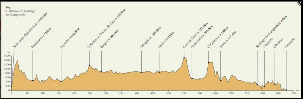
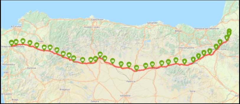
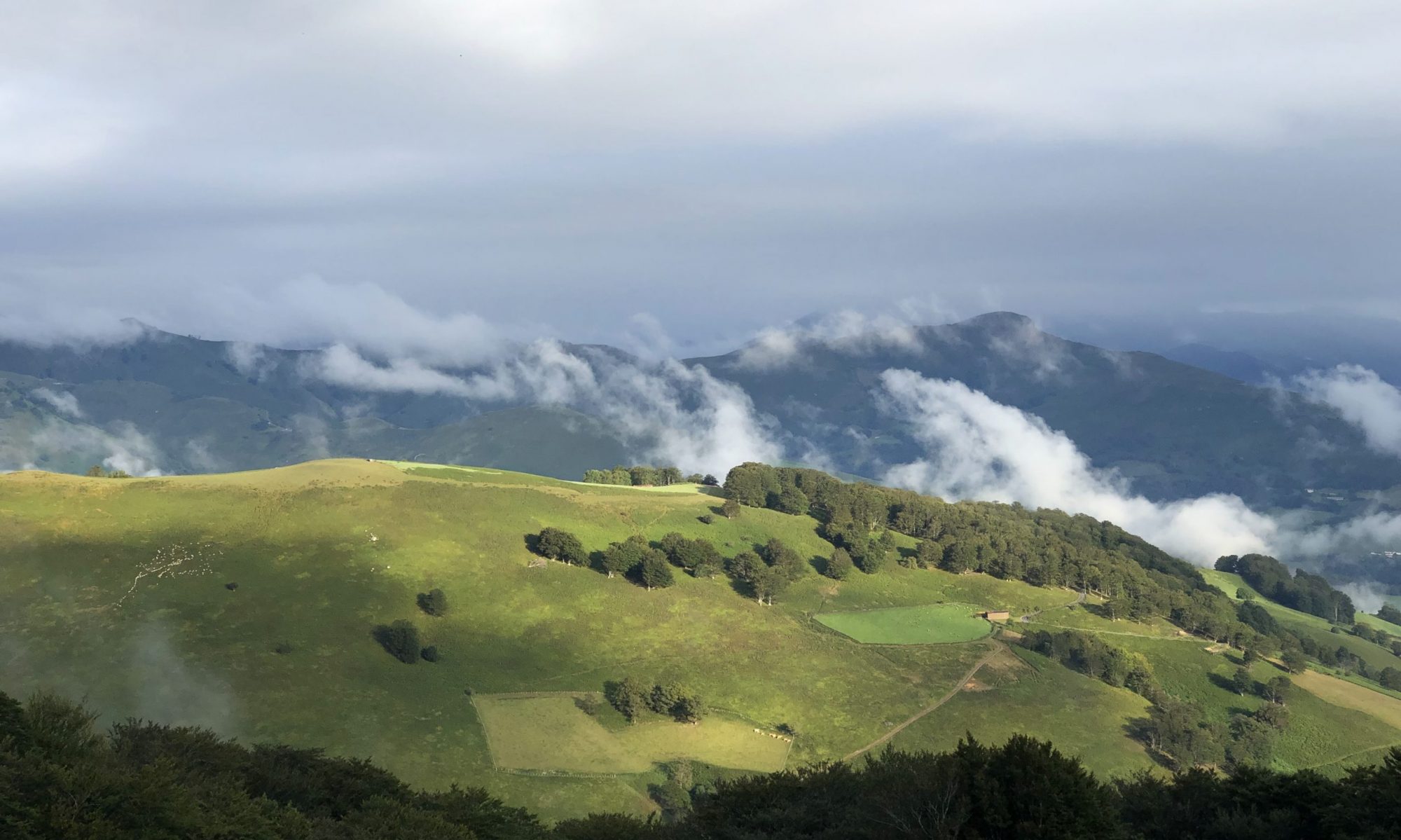
Camino Frances elevation map. Starting on the left at Saint-Jean-Pied-de-Port, France, the high peak is the path on which we cross over the Pyrenees Mountains into Spain. All those little peaks.. I promise you, don’t seem like little ups and downs when you’re huffing and puffing along.And this is the path we walk on the Camino Frances. After 5-6 weeks of walking all day, and always walking west, the left arm and side of the face takes a beating in the sun!