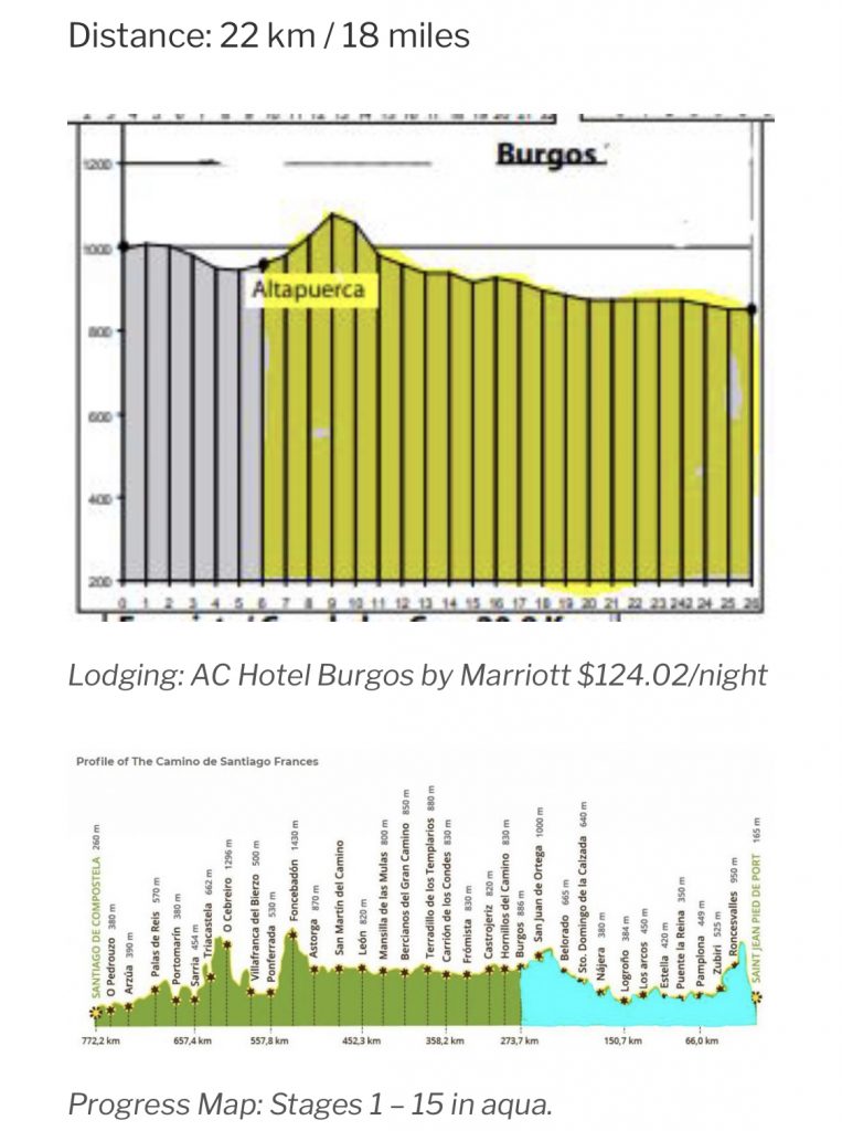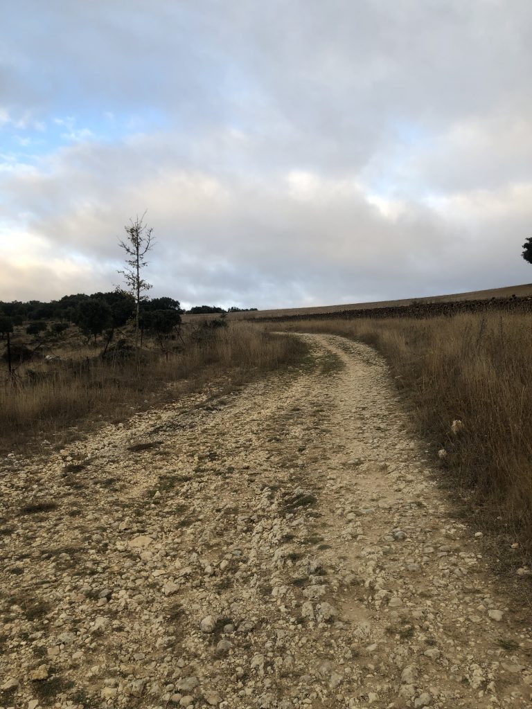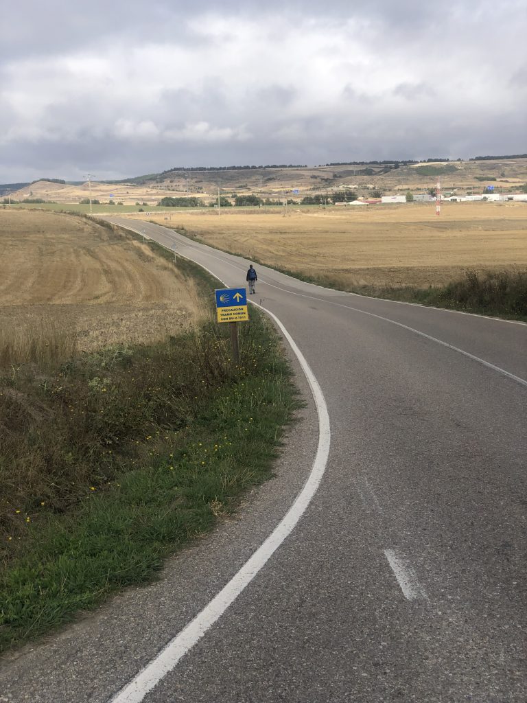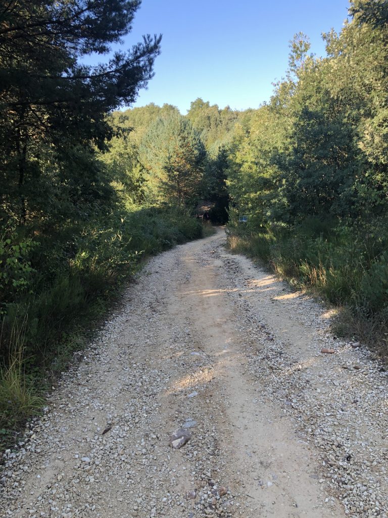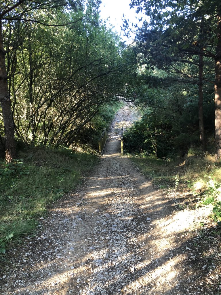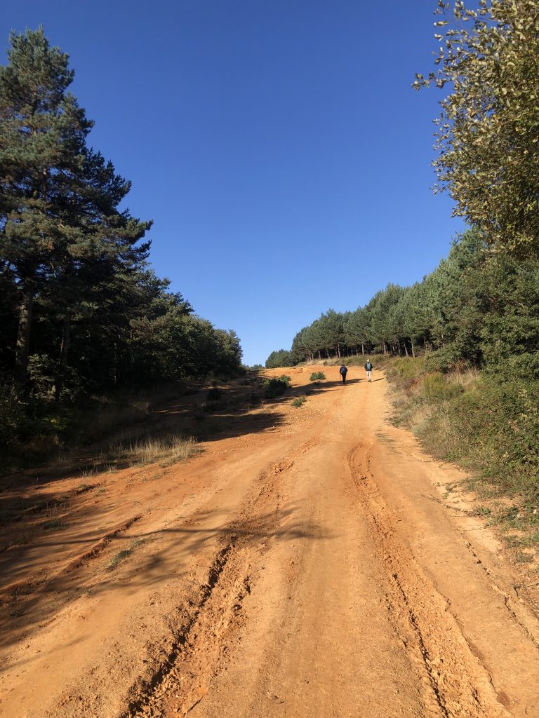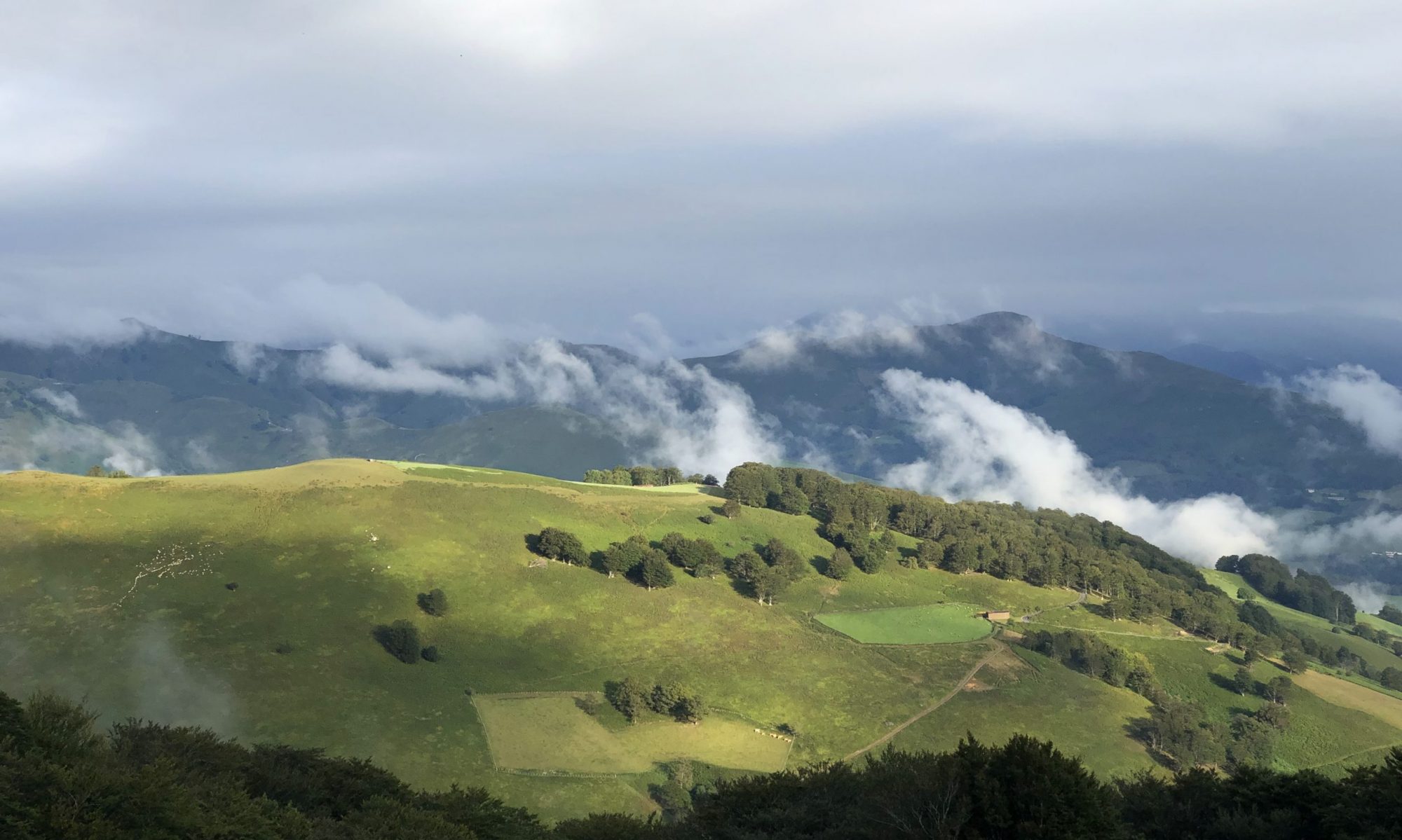
I’ve now walked out of the Meseta, the northern portion of the central plains. From Astorga, we begin the ascent through the foothills of the Leon Mountains.
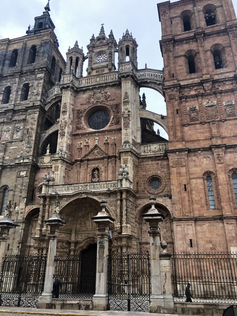
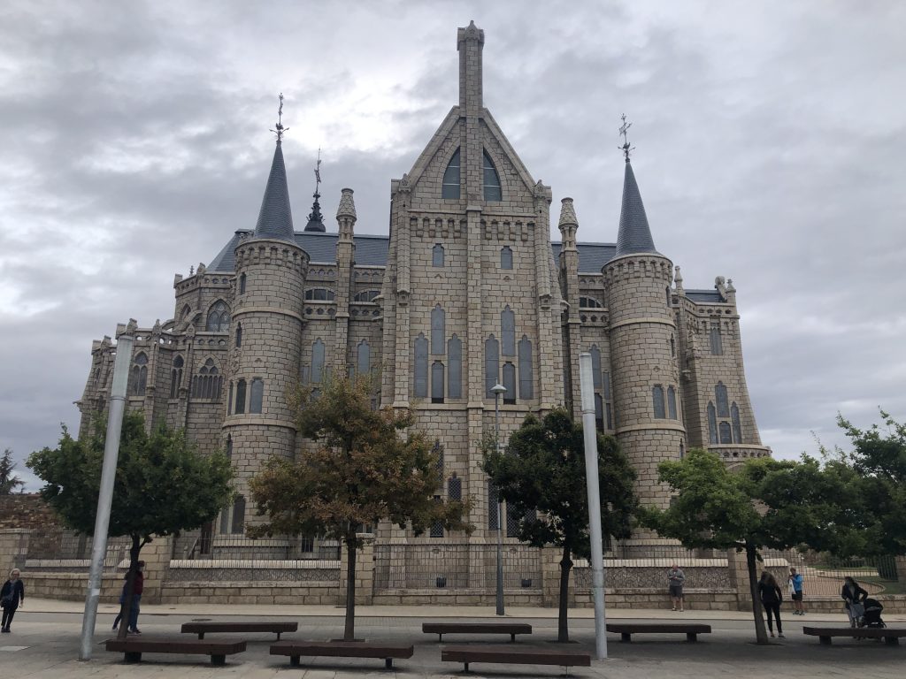
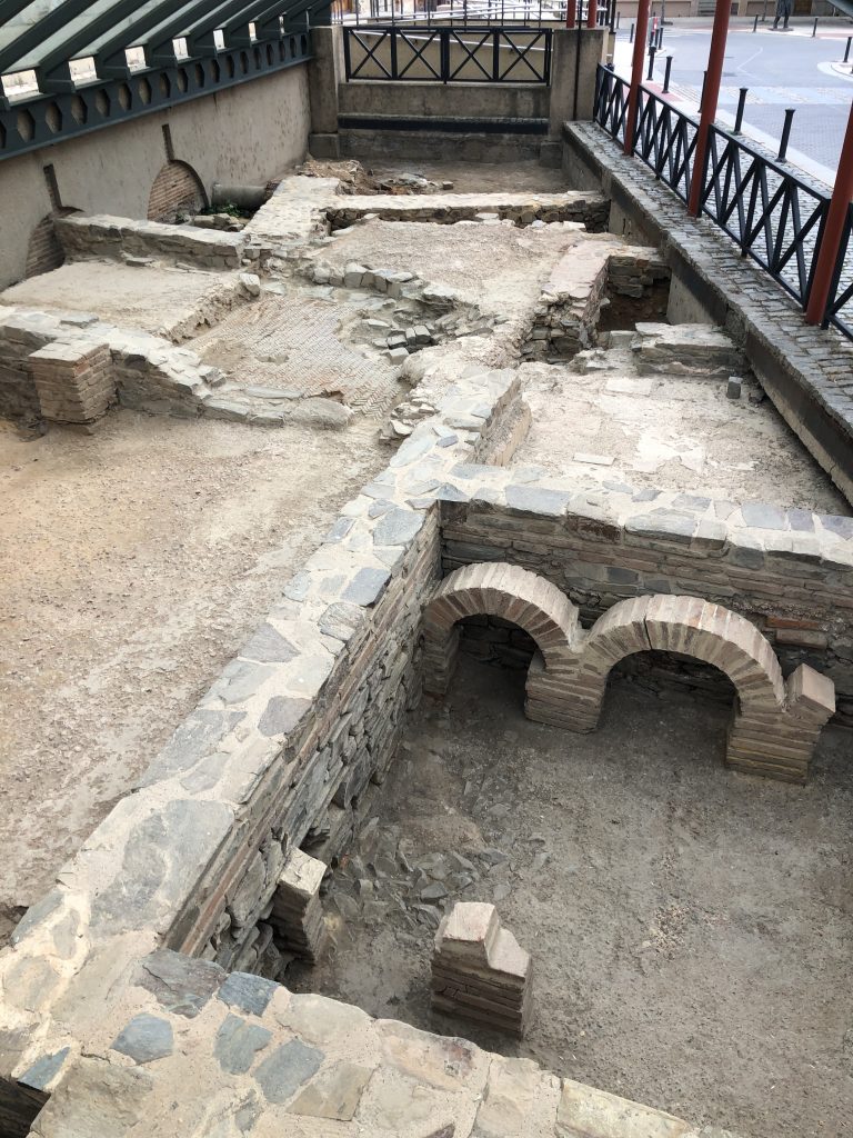
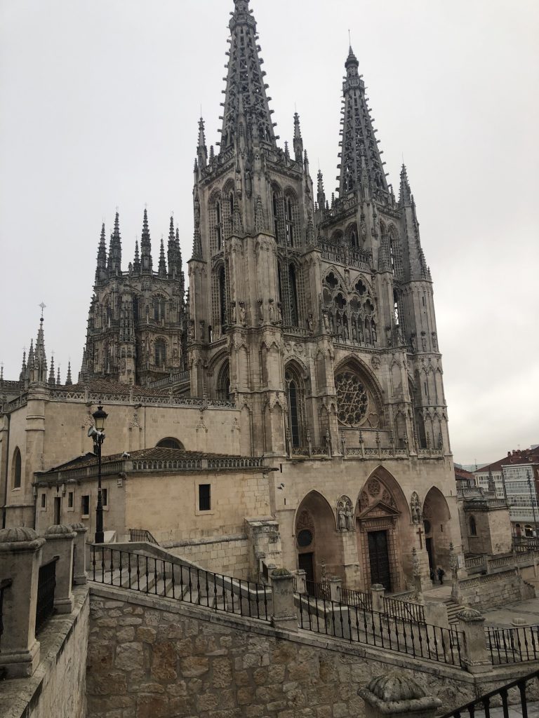
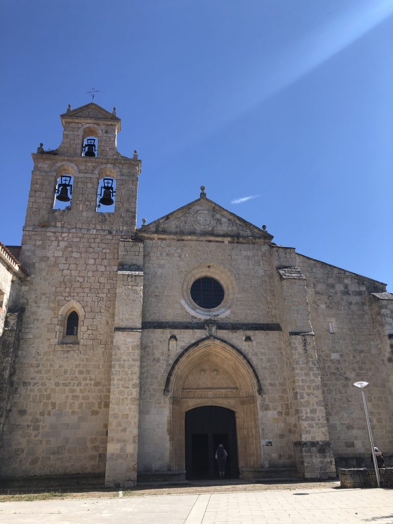
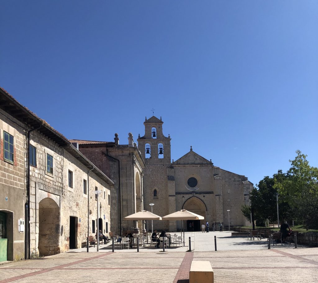
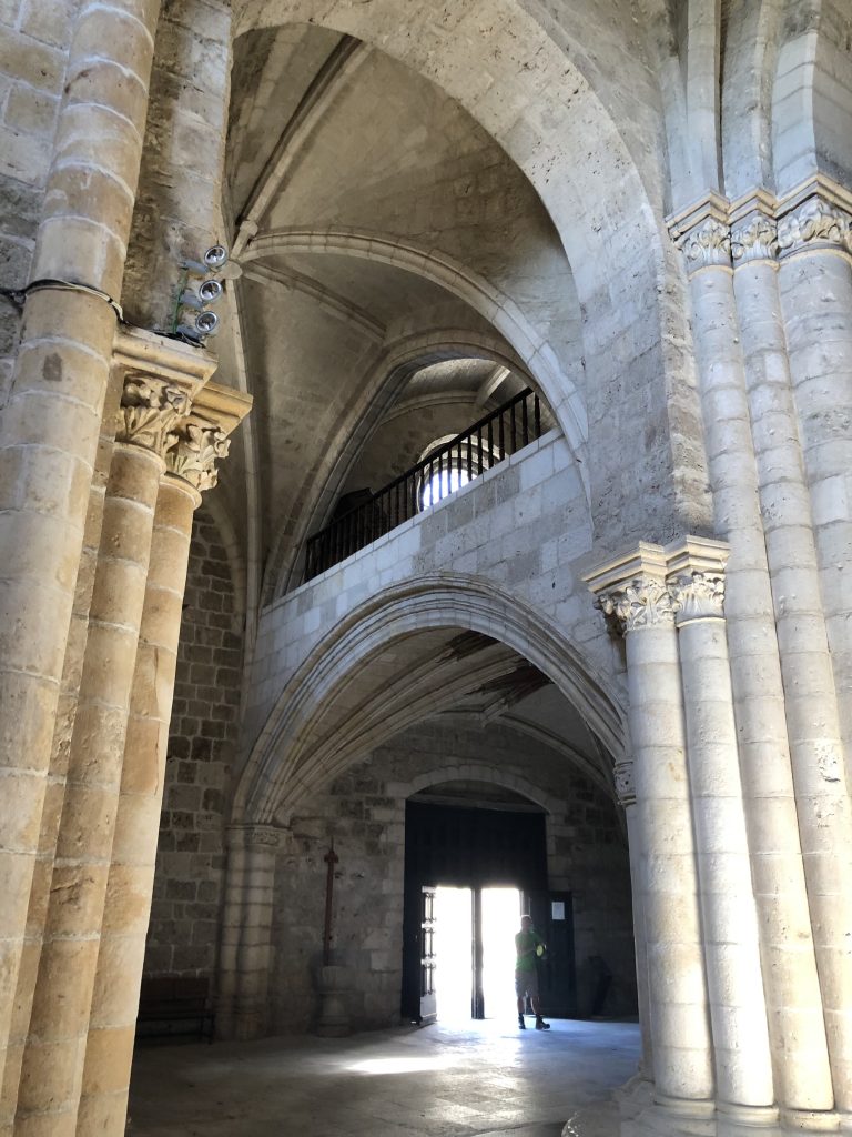
Astorga is one of my favorite towns along the Camino Frances, so I was happy to have the day to revisit a few spots.
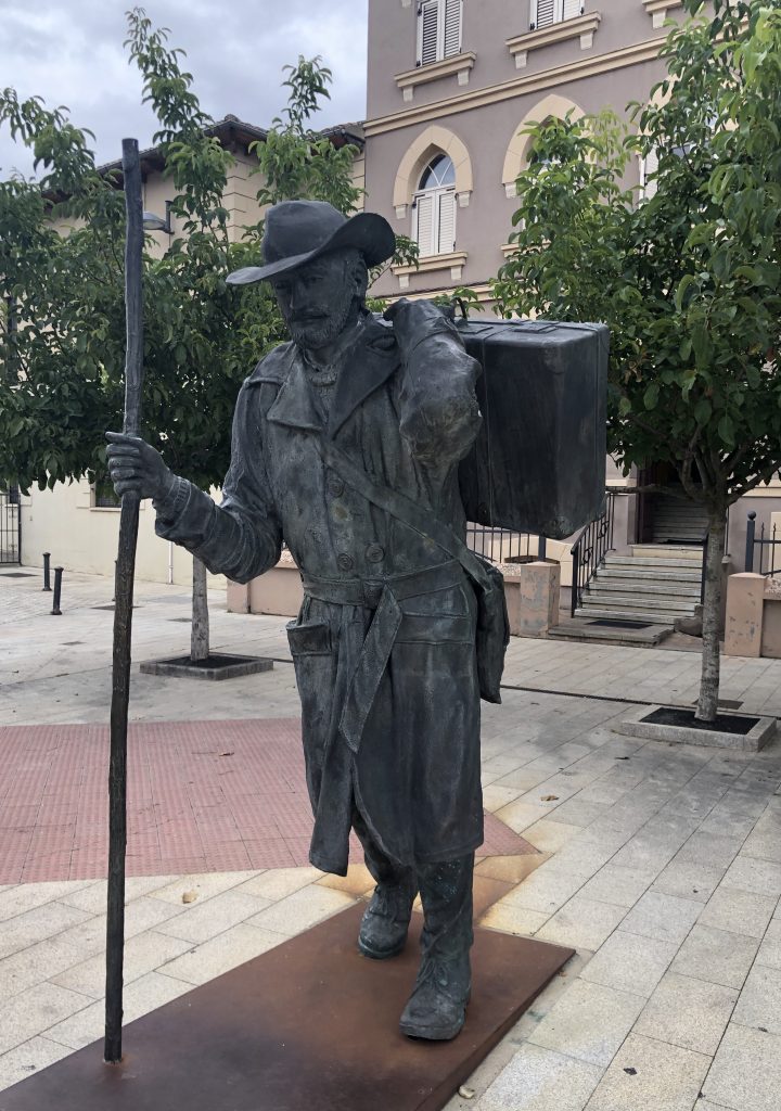
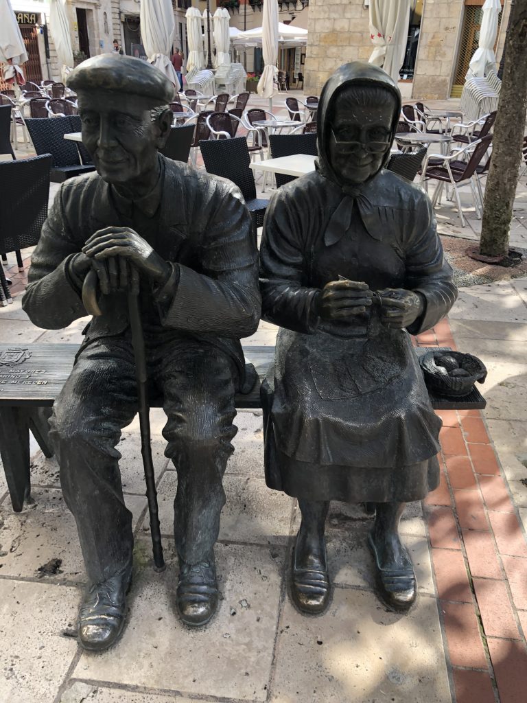
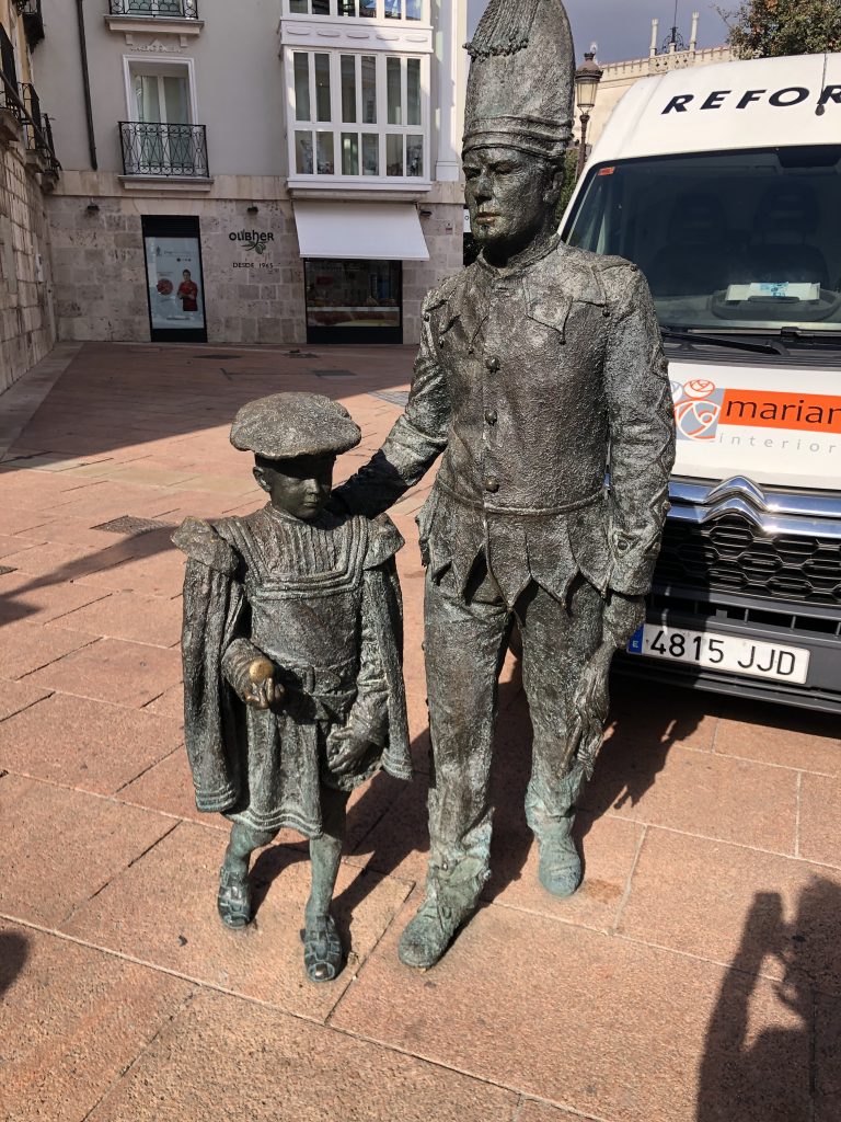
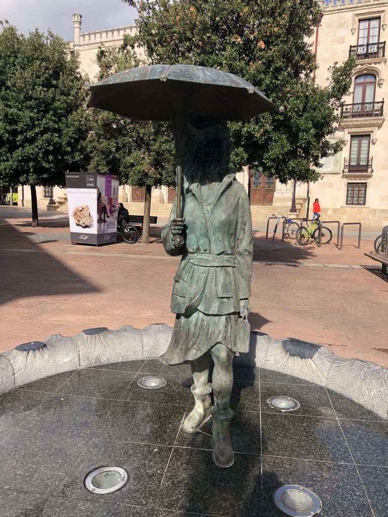
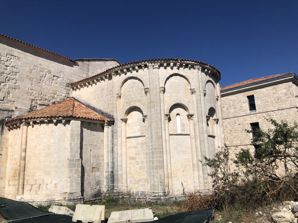
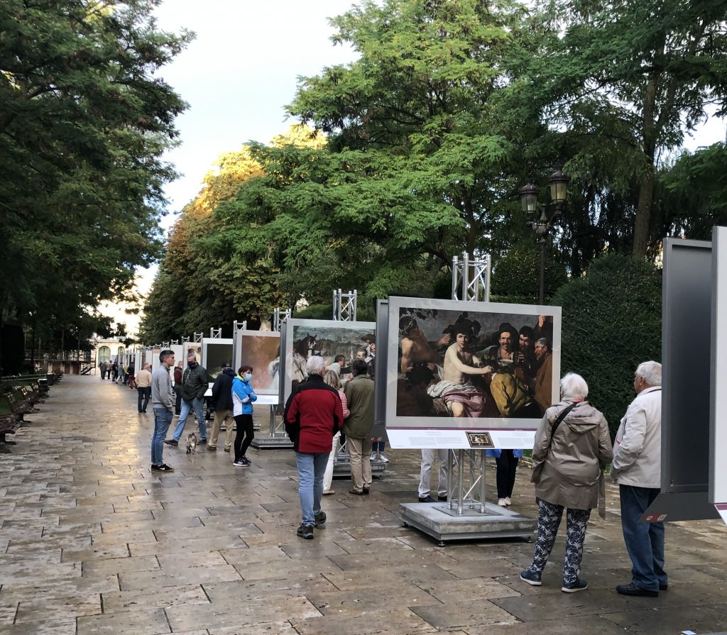
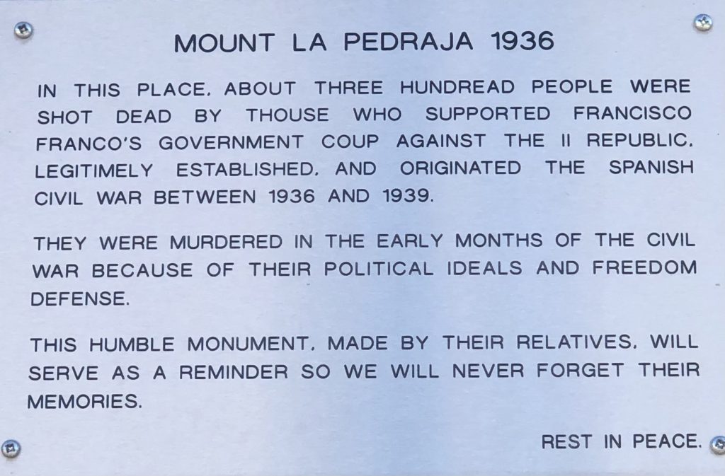
Meanderings: The cathedral, the Gaudi palace, an archeological dig, and less magnificent sights.