A Day On A Path

 The dots follow me on my walk.

Click the link above to see the entire list.
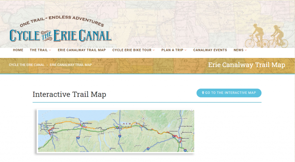
We considered walking the Canal Path from Buffalo to Syracuse, but it’s still COVID time. It was fun planning for it and learning more about the path.

https://www.ptny.org/cycle-the-erie-canal/trail-map

 |
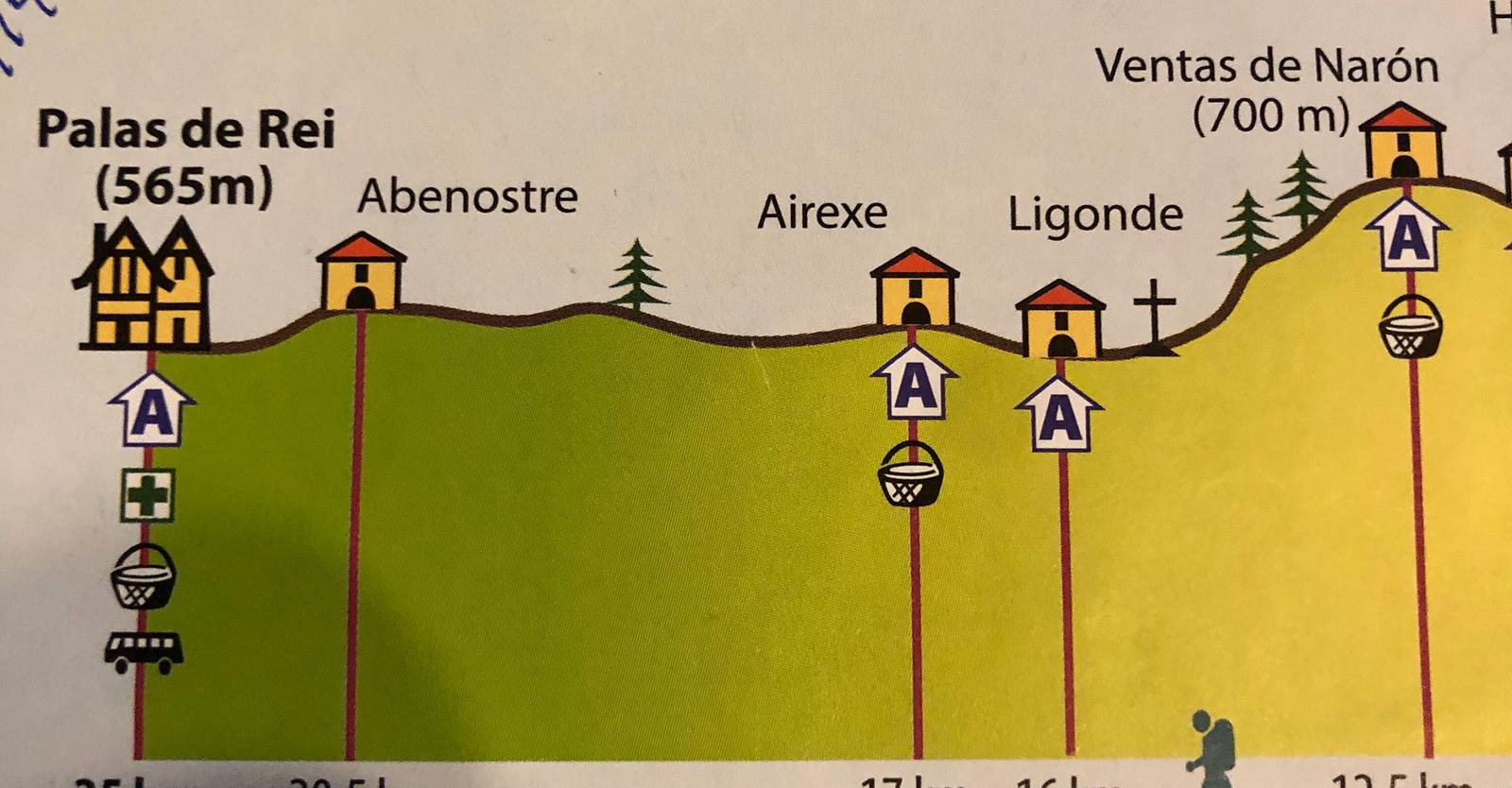
| A Brea – where I started today |
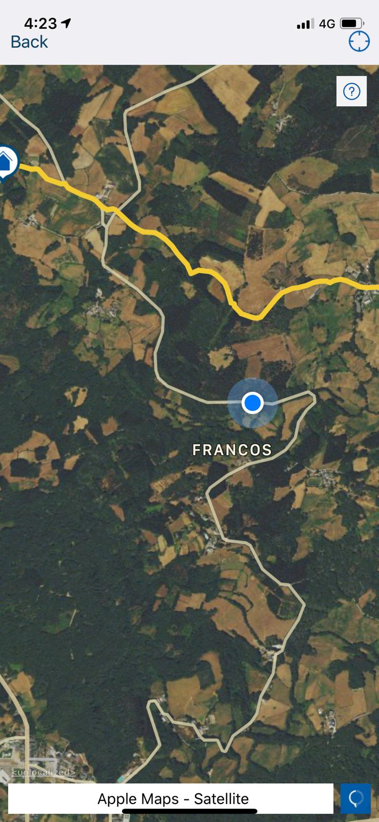 |
| A missed turn got me off track |
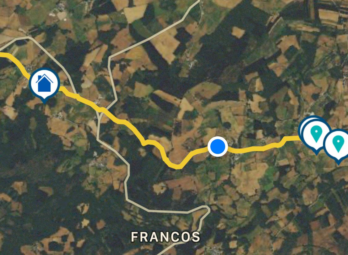 |
| Back on track |

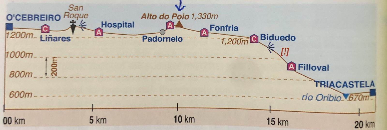

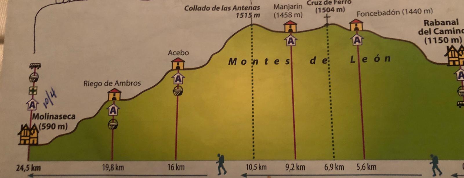
Tomorrow’s going be a hard one for me. I better get myself out of the door earlier! 24.5 km /15+ miles. 1,200 ft elevation gain then a steep 3,035 ft descent.